
Local time Monday 5:39 PM | ||
 | ||
Weather 2°C, Wind S at 11 km/h, 30% Humidity | ||
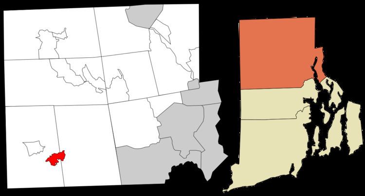
Clayville is a census-designated place in the towns of Foster and Scituate, Rhode Island, United States. As of the 2010 census, it had a population of 300. It is the location of the Clayville Historic District.
Contents
Map of Clayville, Scituate, RI, USA
Geography
According to the U.S. Census Bureau, Clayville has a total area of 1.75 square miles (4.52 km2), of which 1.73 square miles (4.47 km2) is land and 0.019 square miles (0.05 km2), or 1.10%, is water.
Clayville is located on Rhode Island Route 14 and 102. Route 14 leads east to Providence and west to Moosup, Connecticut, while Route 102 leads north to Woonsocket and south to Exeter, Rhode Island.
References
Clayville, Rhode Island Wikipedia(Text) CC BY-SA