
Topo map USGS State Line Peak Country United States of America | Elevation 2,393 m | |
 | ||
Similar Pah Rah Range, Sweetwater Mountains, Pyramid Lake, White Mountains, Basin and Range Province | ||
Doyle ca fort sage mountains ohv trails
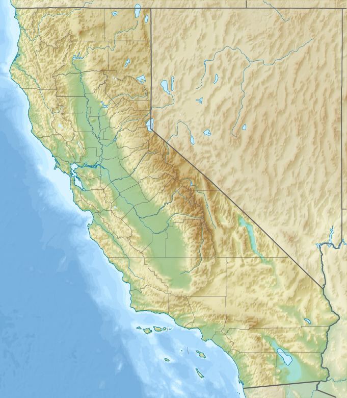
The Fort Sage Mountains are a mountain range running across the state borders in western Washoe County, Nevada and eastern Lassen County, California.
Contents
- Doyle ca fort sage mountains ohv trails
- Map of Fort Sage Mountains Nevada 89510 USA
- State line peak fort sage mountains highpoint
- References
Map of Fort Sage Mountains, Nevada 89510, USA
State line peak fort sage mountains highpoint
References
Fort Sage Mountains Wikipedia(Text) CC BY-SA