Airport type Public Elevation AMSL 3,138 ft / 956 m Elevation 956 m | 06/24 3,000 | |
 | ||
Address Fort MacLeod, AB T0L 0Z0, Canada Similar McNab Realty Ltd, Southern Alberta Livestock, Royal LePage South Co, Fort Motel, Sunset Motel | ||
Sasc autocross sept 26th 2010 fort macleod airport my fastest run
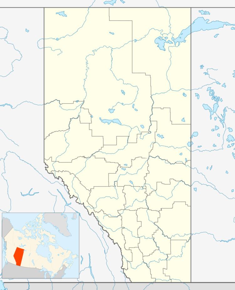
Fort Macleod Airport, (TC LID: CEY3), is located 1 nautical mile (1.9 km; 1.2 mi) southwest of Fort Macleod, Alberta, Canada.
Contents
- Sasc autocross sept 26th 2010 fort macleod airport my fastest run
- Sasc autocross oct 3rd 2010 fort macleod airport my fastest run
- History
- References
Sasc autocross oct 3rd 2010 fort macleod airport my fastest run
History
Fort Macleod Airport was originally RCAF Station Fort Macleod, a British Commonwealth Air Training Plan facility located near the west end of Fort MacLeod. It was the location of No. 7 Service Flying Training School which began operation December 9, 1940. A relief landing field was located at Granum. The school closed November 17, 1944, as did RCAF Detachment Granum.
RCAF Stn Fort Macleod had 3 runways in a triangle configuration, i.e. three runways forming an equilateral triangle. All of these runways were abandoned but can be seen clearly in aerial photography. Many wartime RCAF training stations had a triangle configuration in order to allow for a wide range of wind directions. The modern runway 06/24 is not one of the original runways. It was an entirely new runway constructed approximately parallel to one of the existing runways but cutting across the other two near their apex.
