
Country Canada Specialized municipality RM of Wood Buffalo Named 1912 Elevation 260 m Province Alberta | Census division No. 16 Established 1820 Time zone MST (UTC-7) Population 562 (2011) Local time Tuesday 9:06 PM | |
 | ||
Weather 2°C, Wind E at 8 km/h, 65% Humidity | ||
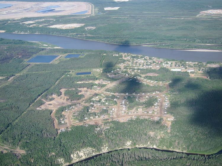
Fort MacKay, or Fort McKay, is a community in northeast Alberta, Canada that is located at the confluence of the Athabasca and MacKay rivers. It is approximately 54 km (34 mi) north of Fort McMurray via Highway 63 and Fort McKay Road. The community has an elevation of 260 m (850 ft).
Contents
- Map of Fort Mackay AB Canada
- History
- 2016 wildfire
- Climate
- Demographics
- Economy
- Government
- Infrastructure
- References
Map of Fort Mackay, AB, Canada
The majority of the community, known as Fort McKay, is situated on lands of the Fort McKay First Nation (FMFN). The smaller portion of the community, known as Fort MacKay, is located adjacent to the FMFN lands to the south within the Regional Municipality (RM) of Wood Buffalo. The portion of the community within the RM of Wood Buffalo is designated as a hamlet.
History
The community was named in 1912 after Dr. Williams Morrison McKay, the first president of the Northern Alberta Medical Association. Despite this, the official spelling of the hamlet's name is Fort MacKay according to the RM of Wood Buffalo and Alberta Municipal Affairs. The community's name is spelled Fort McKay by the Fort McKay First Nation. In August 2012, the Fort McKay Métis Community requested the RM of Wood Buffalo to change the name of the hamlet to Fort McKay.
2016 wildfire
On May 7, 2016, Fort McKay, which hosted 5,000 evacuees from Fort McMurray, was itself put under an evacuation notice due to the northward advance of the Fort McMurray wildfire toward the community.
Climate
Fort MacKay has a subarctic climate (Köppen climate classification Dfc). and falls into the NRC Plant Hardiness Zone 3a. Summers are mild and short, and winters can be long and cold.
Demographics
In the RM of Wood Buffalo's 2015 municipal census, the hamlet portion of the community (Fort MacKay) had a population of 51, a 2998864000000000000♠−13.6% change from its 2012 municipal census population of 59.
In the 2011 Census, the settlement portion of the community (Fort McKay) had a population of 562 living in 201 of its 235 total dwellings, a 7.9% change from its 2006 population of 521. With a land area of 8.17 km2 (3.15 sq mi), it had a population density of 68.79/km2 (178.16/sq mi) in 2011.
Economy
The economy is centered on the development of the Athabasca oil sands to the immediate south and north. Motorists traveling north on Highway 63 pass through oil sands developments en route to the community.
Government
The community is located in the federal riding of Fort McMurray-Athabasca.
Infrastructure
The community is 6 km (3.7 mi) north of Highway 63 via Fort McKay Road, and is served by air at the Fort MacKay/Horizon Airport.