
Phone +1 618-734-4127 | ||
 | ||
Hours Closed now Tuesday9AM–8PMWednesday9AM–8PMThursday9AM–8PMFriday9AM–8PMSaturday9AM–8PMSunday9AM–8PMMonday9AM–8PM Similar Magnolia Manor, Cairo Mississippi River Brid, Church of the Holy Family, Columbus‑Belmont Civil War State Park, Magnolia Hollow Conserva | ||
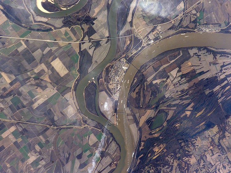
Fort Defiance, known as Camp Defiance during the American Civil War, is a former military fortification located at the confluence of the Ohio and Mississippi rivers near Cairo in Alexander County, Illinois. The strategic significance of the site has been known since prehistoric times with archaeological evidence of warfare dating to the Mississippian era. It is the southernmost park in the state of Illinois. At 279 feet (85 m) elevation, Fort Defiance Point is also Illinois' lowest point.
The park, formerly a state park, had been owned and maintained by the city of Cairo since the 1990s. The Illinois Department of Natural Resources assumed control of Fort Defiance on 31 July 2014 with the goal of returning it to state park status. The park is a satellite of Horseshoe Lake State Fish and Wildlife Area.
History
On his trek up the Mississippi, Frenchman Pierre Laclede was among the first Europeans to land on the southern tip of what is now Illinois.