
Elevation 272 m (892 ft) | Time zone CET/CEST (UTC+1/+2) | |
 | ||
Forst (Eifel) is an Ortsgemeinde – a municipality belonging to a Verbandsgemeinde, a kind of collective municipality – in the Cochem-Zell district in Rhineland-Palatinate, Germany. It belongs to the Verbandsgemeinde of Kaisersesch. It is not to be confused with Forst (Hunsrück), which lies in the same district. The Forst that this article deals with has distinguished itself with the official tag “(Eifel)” since 1 June 1970.
Contents
Location
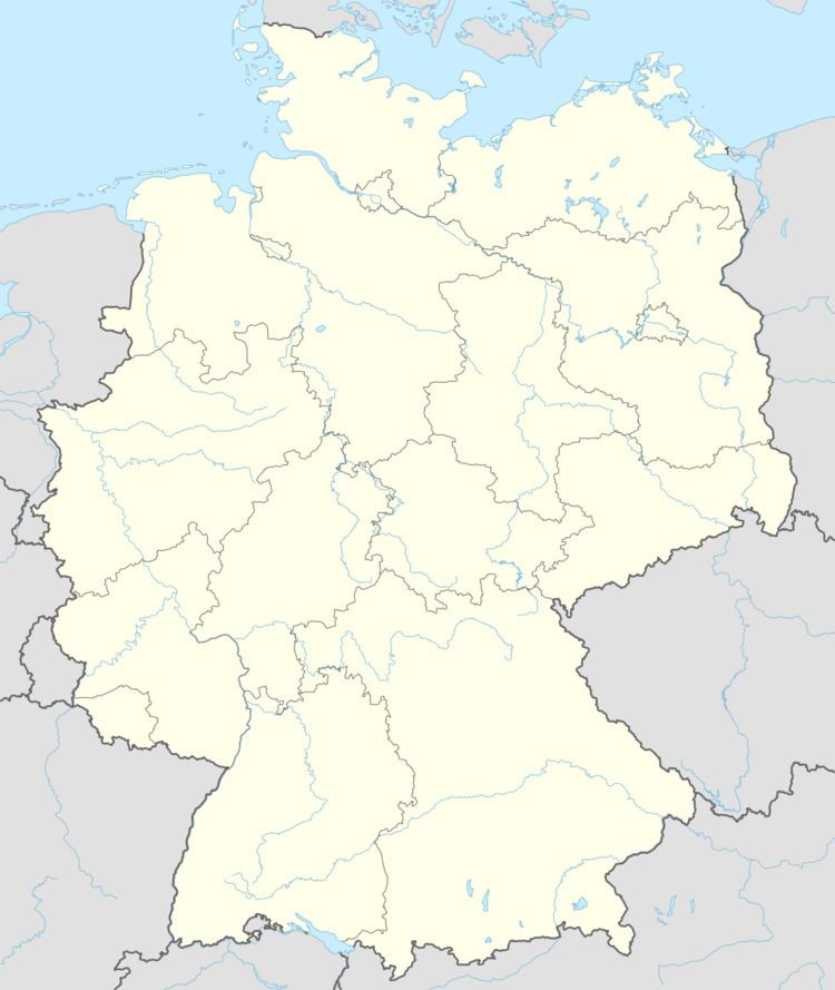
The municipality lies in the Vordereifel (“Further Eifel”) between Treis-Karden and Kaisersesch.
Constituent communities
Forst’s Ortsteile are Forst (main centre), Molzig and Pfaffenhausen.
History
In two papal documents from 1178 and 1186, the village is named as Vosca and Vostra. Forst is the midpoint of the Forster Kirchspiel (parish), which was already a parochial and jurisdictional entity by the Middle Ages. The landholders about 1790 were Saint Castor’s Foundation (Stift St. Kastor) in Karden, the Barons of Clodt, the Counts of Leyen, the Counts Waldbott von Bassenheim, the Rosenthal Monastery and the Franciscan convent in Karden. Beginning in 1794, Forst lay under French rule, and about 1802 came Secularization of all monastic holdings. In 1815 Forst was assigned to the Kingdom of Prussia at the Congress of Vienna. Since 1946, it has been part of the then newly founded state of Rhineland-Palatinate.
Municipal council
The council is made up of 8 council members, who were elected by majority vote at the municipal election held on 7 June 2009, and the honorary mayor as chairman.
Mayor
Forst’s mayor is Franz-Josef Meiner, and his deputies are Gerhard Weber and Paul Geisen.
Coat of arms
The German blazon reads: Schild im Göpelschnitt geteilt. Vorne in Silber ein stilisierter schwarzer Tempel, hinten in Grün eine silberne Kirche, unten in Gold über drei roten Rauten vier rote Kugeln, jeweils balkenweise.
The municipality’s arms might in English heraldic language be described thus: Per pall reversed, dexter argent a temple sable, sinister vert a church of the first, and in base Or four roundels in fess under which three lozenges in fess, all gules.
The partition into three fields is a reference to the centres of Forst, Molzig and Pfaffenhausen, which are all parts of the municipality of Forst (Eifel). The temple on the dexter (armsbearer’s right, viewer’s left) side refers to the Roman settlement whose remnants were found in the cadastral area known as Stockborn. The parish had nine estates and its midpoint was the old church, seen on the sinister (armsbearer’s left, viewer’s right) side, which in 1288 was named in Rudolf von Polch’s will. The parish’s 1587 seal shows, among other things, the arms borne by the Lords of Brunsperch-Brohl, now also borne as a charge in the base of Forst’s arms. These lords long held the Pellenz court as a fief.
The arms have been borne since 1987.
Buildings
The following are listed buildings or sites in Rhineland-Palatinate’s Directory of Cultural Monuments:
Forst (main centre)
Molzig
The outlying centre of Pfaffenhausen has no sites in the directory.