
Population 347 (2011 census) Postcode(s) 4871 Mean max temp Mean min temp Postal code 4871 | Established 1871 State electorate(s) Mount Isa Founded 1871 Local time Wednesday 10:02 AM | |
 | ||
Location 415 km (258 mi) from Cairns1,788 km (1,111 mi) from Brisbane2,328 km (1,447 mi) from Sydney Weather 29°C, Wind NW at 10 km/h, 74% Humidity | ||
Forsayth is a town and locality in the Shire of Etheridge, Far North Queensland, Australia, approximately 415 kilometres (258 mi) by road from Cairns. In the 2011 census, Forsayth had a population of 347 people.
Contents
Map of Forsayth QLD 4871, Australia
The town is the terminus of the Etheridge Railway, built by the Chillagoe Railway and Mining Company. It reached Forsayth in 1911. Queensland Railways took the line over in 1918. It is now serviced by a weekly, privately operated, tourist train, The Savannahlander.
History
Originally known as Finnigan's Camp after the prospector who discovered gold nearby in 1871, within a year the settlement had become Charleston township, and it continued to grow despite near desertion when its inhabitants rushed to the Palmer River Goldfield in 1874 and to the Hodgkinson in 1876. Charleston Post Office opened on 1 February 1876, was renamed Charleston West in 1910 and closed in 1915. After a slump in the mid-1880s the township was again a flourishing centre by the mid-1890s, having five hotels, a school and a court of petty sessions.
By the late 1890s base metal prices were high: a number of promising copper deposits were opened up in the Etheridge district at Charleston, Einasleigh and Ortona, and several were acquired by a subsidiary of the Chillagoe Company. This led the company to commence a rail link in 1907 from Almaden to Einasleigh and the Charleston area, which was completed in January 1910. The Etheridge Railway terminated at a new settlement on the other side of the Delaney River. First known as New Charleston, it was renamed Forsayth after the railways commissioner, James Forsayth Thallon. During the year, all the buildings in Charleston, including the police station and the school, which had previously been at Gilberton, were moved across the Delaney River to Forsayth.
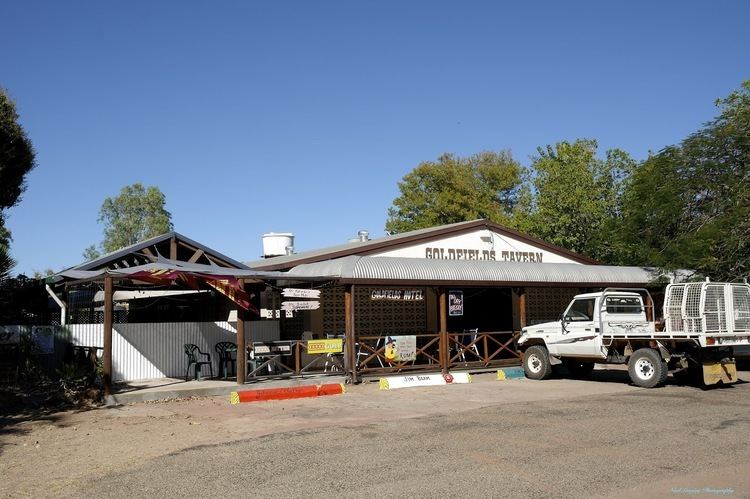
The second Charleston Post Office opened here by April 1910 and was renamed Forsayth in December 1910. New buildings and services followed the opening of the railway; these included a hospital, a new court house and a new school built in 1912, and a public hall built two years later. In 1914 the Chillagoe smelters were shut down and the town's importance as an ore-loading facility and centre for miners and their families declined as mining activity in the area was scaled back. Forsayth remained the railhead for transport to the west, although plans in the 1930s to extend the railway to connect to the Normanton-Croydon railway did not proceed. From the 1980s, renewed mining activity in the area and increased livestock traffic revived the town. Today Forsayth is a service centre for road transport and regional tourism.
At the 2006 census, Forsayth had a population of 101.
Heritage listings
Forsayth has a number of heritage-listed sites, including:
Education
In 2014, the Forsayth State School had an enrolment of 8 students with 2 teachers.