
- land 12.1 sq mi (31 km) Local time Tuesday 4:56 PM | - summer (DST) EDT (UTC-4) | |
 | ||
- water 0.2 sq mi (1 km), 1.64% Weather -2°C, Wind NW at 31 km/h, 77% Humidity | ||
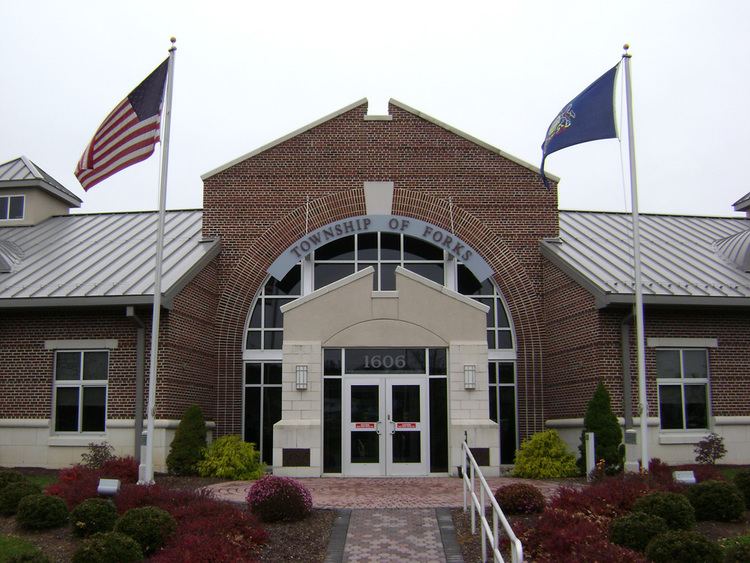
Forks Township is a township in Northampton County, Pennsylvania, United States. Forks Township is located in the Lehigh Valley region of the state.
Contents
- Map of Forks Township PA 18040 USA
- Geography
- Neighboring municipalities
- Demographics
- Public education
- References
Map of Forks Township, PA 18040, USA
The population of Forks Township was 15,034 at the 2014 census.
Geography
According to the United States Census Bureau, the township has a total area of 12.2 square miles (32 km2), of which, 12.1 square miles (31 km2) of it is land and 0.2 square miles (0.52 km2) of it (1.39%) is water. It is drained by the Delaware River, which separates it from New Jersey. Its villages include Chestnut Hill, Churchville, Keplers Mill, Sandts Eddy (also in Lower Mount Bethel Township,) Uhlers Station, and Zucksville. Route 611 runs north-to-south through the township along the river. Other local roads of note include Bushkill Drive, Frost Hollow Road, Kesslersville Road, Knox Avenue/Sullivan Trail, Newlins Road, Richmond Road, Uhler Road, and Zucksville Road.The township was named Forks since it lies at the "fork" of the Delaware and Lehigh Rivers.
Neighboring municipalities
Demographics
As of the census of 2000, there were 8,419 people, 3,035 households, and 2,415 families residing in the township. The population density was 698.2 people per square mile (269.5/km2). There were 3,159 housing units at an average density of 262.0/sq mi (101.1/km2). The racial makeup of the township was 94.92% White, 2.24% African American, 0.05% Native American, 1.39% Asian, 0.01% Pacific Islander, 0.62% from other races, and 0.77% from two or more races. Hispanic or Latino of any race were 2.05% of the population.
There were 3,035 households, out of which 39.8% had children under the age of 18 living with them, 70.7% were married couples living together, 6.3% had a female householder with no husband present, and 20.4% were non-families. 17.0% of all households were made up of individuals, and 6.8% had someone living alone who was 65 years of age or older. The average household size was 2.76 and the average family size was 3.13.
In the township the population was spread out, with 27.6% under the age of 18, 4.3% from 18 to 24, 31.3% from 25 to 44, 24.1% from 45 to 64, and 12.7% who were 65 years of age or older. The median age was 39 years. For every 100 females there were 95.7 males. For every 100 females age 18 and over, there were 94.1 males.
The median income for a household in the township was $66,055, and the median income for a family was $70,587. Males had a median income of $51,965 versus $30,661 for females. The per capita income for the township was $26,180. About 2.7% of families and 3.0% of the population were below the poverty line, including 2.7% of those under age 18 and 6.0% of those age 65 or over.
Public education
The Township is served by the Easton Area School District, and is home to three of the District's schools: Shawnee Elementary, Forks Elementary, and Easton Area Middle School 5/6 and 7/8.