
Population 173 (2011 census) Postcode(s) 5139 State electorate(s) Kavel Founded 1854 Local time Wednesday 4:40 AM | Established 1854 Elevation 473 m Postal code 5139 | |
 | ||
Weather 19°C, Wind N at 10 km/h, 55% Humidity | ||
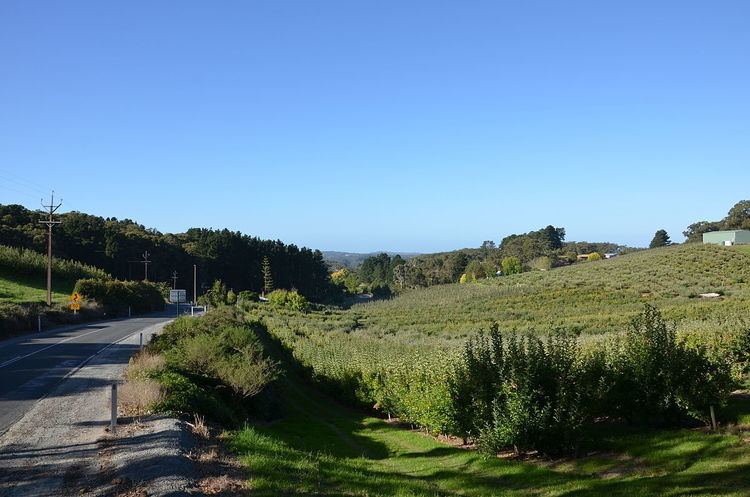
Forest Range is a small town in the Adelaide Hills, South Australia.
Contents
Map of Forest Range SA 5139, Australia
History
Forest Range was settled by timber sawyers, cutting stringybark trees for timber and charcoal. In 1854 there was a minor gold rush, with gold-seekers taking over 6000 ounces of gold. Timber-cutting gave way to fruit and vegetable farming as land was cleared. Forest Range initially comprised the whole district including Lenswood, until 1917 when Lenswood was proclaimed. Initially land clearing (and gold) formed the major industries, but this soon gave way to farming. Farming in those times was mixed, with fruit and vegetables farmed for local or Adelaide use. In the 20th century farming became more specialised and apples, pears and cherries became the main industries. The Forest Range Fruitgrowers' Co-Operative Society was one of the main sites of apple packing and storage until it was absorbed by the nearby Lenswood Cold Store in the 1950s.
Forest Range had a number of businesses and community buildings, but over time, these have all disappeared. These included hotels, timber sawing mills, shops, and churches. The Forest Range Hall (at the oval) and the Forest Range Post Office remain the last community buildings, however there are numerous orchard sheds and private cold stores.