
Country United States City St. Louis ZIP code(s) Part of 63110 Area 166 ha Area code 314 | State Missouri Wards 17 Website stlouis-mo.gov Population 2,918 (2010) | |
 | ||
Restaurants Everest Cafe & Bar, Sanctuaria, Sameem's, Confluence Kombucha, Sameem Afghan Restaura | ||
Forest Park Southeast is a neighborhood of St. Louis, Missouri. It is bordered by I-64/US-40 on the north, Vandeventer Avenue on the east, I-44 on the south, and Kingshighway and Forest Park on the West.
Contents
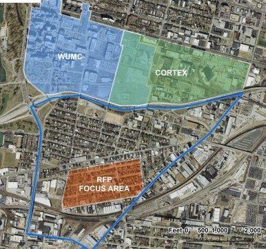
Map of Forest Park Southeast, St. Louis, MO 63110, USA
The Grove is a recent name for the entertainment, dining and commercial district along Manchester Blvd in Forest Park Southeast that is revitalized and developing.
Demographics
In 2010 the neighborhood's population was 64.3% Black, 30.1% White, 0.2% Native American, 2.4% Asian, 0.1% Pacific Islander, 2.0% Two or More Races, and 0.9% Some Other Race. 2.1% of the population was of Hispanic or Latino origin.
References
Forest Park Southeast, St. Louis Wikipedia(Text) CC BY-SA