
Country United States FIPS code 28-25340 Area 33.7 km² Zip code 39074 Local time Tuesday 1:40 PM | Time zone Central (CST) (UTC-6) GNIS feature ID 0693243 Elevation 145 m Population 5,725 (2013) Area code 601 | |
 | ||
Weather 7°C, Wind NW at 19 km/h, 69% Humidity | ||
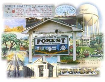
Forest is a city in Scott County, Mississippi. The population was 5,987 at the 2000 census. It is the county seat of Scott County.
Contents
- Map of Forest MS 39074 USA
- Geography
- Demographics
- Transportation
- Education
- Business
- Notable people
- References
Map of Forest, MS 39074, USA
Geography
Forest is located at 32°21′49″N 89°28′31″W (32.363627, -89.475348).
According to the United States Census Bureau, the city has a total area of 13.0 square miles (34 km2), of which 13.0 square miles (34 km2) is land and 0.04 square miles (0.10 km2) (0.15%) is water.
Demographics
As of the census of 2000, there were 5,987 people, 2,085 households, and 1,478 families residing in the city. The population density was 460.0 people per square mile (177.7/km²). There were 2,257 housing units at an average density of 173.4 per square mile (67.0/km²). The racial makeup of the city was 40.35% White, 50.88% African American, 0.40% Native American, 0.53% Asian, 0.07% Pacific Islander, 5.85% from other races, and 1.92% from two or more races. Hispanic or Latino of any race were 12.71% of the population.
There were 2,085 households out of which 36.5% had children under the age of 18 living with them, 41.6% were married couples living together, 24.1% had a female householder with no husband present, and 29.1% were non-families. 23.7% of all households were made up of individuals and 10.6% had someone living alone who was 65 years of age or older. The average household size was 2.80 and the average family size was 3.25.
In the city, the population was spread out with 29.3% under the age of 18, 10.6% from 18 to 24, 27.5% from 25 to 44, 19.7% from 45 to 64, and 13.0% who were 65 years of age or older. The median age was 32 years. For every 100 females there were 94.8 males. For every 100 females age 18 and over, there were 91.5 males.
The median income for a household in the city was $25,638, and the median income for a family was $29,767. Males had a median income of $23,825 versus $17,277 for females. The per capita income for the city was $16,484. About 21.6% of families and 23.5% of the population were below the poverty line, including 29.5% of those under age 18 and 13.8% of those age 65 or over.
Transportation
Forest is served by Interstate 20, U.S. Route 80, and Mississippi Highways 21, 35, and 501. Air transportation is available through Forest Municipal or the nearby Jackson-Evers International Airport (JAN).
Education
The City of Forest is served by the Forest Municipal School District. Schools include Forest Elementary School, Hawkins Middle School and Forest High School.
Business
Forest is home to several poultry processing plants, including Koch Foods, Tyson Foods, and the Forest Packing Company. Raytheon also has a consolidated manufacturing center in Forest which builds electronic equipment for radars and other sensor systems.