
OS grid reference ST841748 Country England Post town Chippenham Local time Tuesday 2:32 PM Civil parish North Wraxall UK parliament constituency North Wiltshire | Region South West Sovereign state United Kingdom Postcode district SN14 Dialling code 01249 Ceremonial county Wiltshire | |
 | ||
Weather 13°C, Wind W at 24 km/h, 83% Humidity | ||
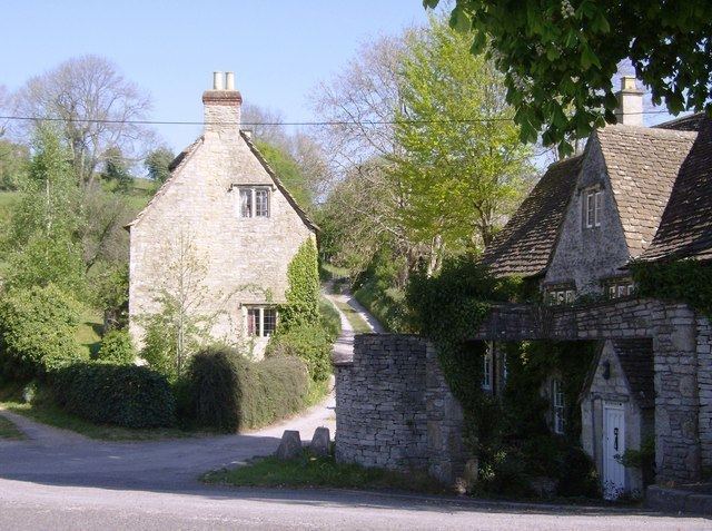
Ford is a small village located in the northwest of Wiltshire, England. It had a population of 580 in the 2001 census. The village is situated along the A420 road, 11 miles east of Bristol and 4 miles west of Chippenham.
Map of Ford, Chippenham, UK
Ford is the second largest village in the civil parish of North Wraxall, a collection of five settlements which includes Upper Wraxall, North Wraxall, The Shoe (also on the A420) and Mountain Bower. There is a pub called the White Hart, but no other shops.
The Bybrook River flows through the village.
A church of St John was designed by C.E. Ponting in 1896 and converted into a residence in 2001.
References
Ford, Wiltshire Wikipedia(Text) CC BY-SA