
Population (2006) 1,496 Local time Tuesday 3:57 AM | Region Normandy Canton Clères Area 12.2 km² | |
 | ||
Weather 3°C, Wind SW at 8 km/h, 97% Humidity | ||
Fontaine-le-Bourg is a commune in the Seine-Maritime department in the Haute-Normandie region in northern France.
Contents
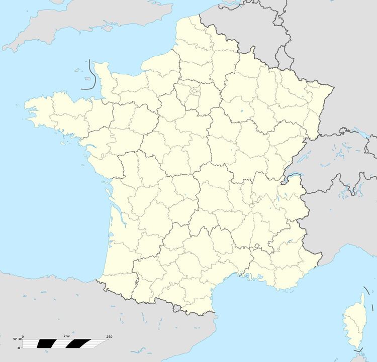
Map of 76690 Fontaine-le-Bourg, France
Geography
A village of farming and a little light industry, situated by the banks of the Cailly River in the Pays de Caux, some 10 miles (16 km) north of Rouen, at the junction of the D53, D44 and the D151 roads.
Places of interest
Notable people
Motor engineer Édouard Delamare-Deboutteville (1856–1901), who, in February 1884, together with Léon Malandin, built and drove a motor car fitted with a 4 stroke internal combustion engine from here to Cailly.
References
Fontaine-le-Bourg Wikipedia(Text) CC BY-SA