
Postal code 270 66 Elevation 640 m Area code 26240 Administrative region Western Greece | Time zone EET (UTC+2) Vehicle registration ΗΑ Local time Tuesday 3:32 AM Regional unit Elis | |
 | ||
Weather 2°C, Wind N at 3 km/h, 85% Humidity | ||
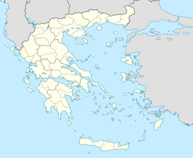
Foloi (Greek: Φολόη, Latin: Pholoe) is a village and a former municipality in Elis, West Greece, Greece. Since the 2011 local government reform it is part of the municipality Archaia Olympia, of which it is a municipal unit. The municipal unit has an area of 174.202 km2. The seat of the municipality was in the village Lalas, in the southern part of the municipal unit. The village Foloi is situated in the northwestern part. Foloi is situated in a mountainous, sparsely populated area. The Foloi oak forest is located in the municipal unit. Foloi is located about 15 km northeast of Olympia, 30 km east of Pyrgos and 55 km south of Patras. It borders on Arcadia to the east, across the river Erymanthus.
Contents
Map of Foloi 270 66, Greece
Subdivisions
The municipal unit Foloi is subdivided into the following communities (constituent villages in brackets):