
 | ||
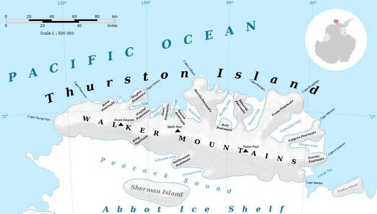
Foley Glacier (71°58′S 101°10′W) is a glacier about 4 nautical miles (7 km) long flowing north from the western end of Thurston Island just east of Cape Petersen. It was named by the Advisory Committee on Antarctic Names after Kevin M. Foley, of the United States Geological Survey, Reston, Virginia, a computer specialist and team member of the Glaciological and Coastal-Change Maps of Antarctica Project.
Contents
Map of Foley Glacier, Antarctica
Maps
References
Foley Glacier Wikipedia(Text) CC BY-SA