
Population 161 (2001) Civil parish Fogo Sovereign state United Kingdom Local time Monday 11:04 PM | OS grid reference NT7649 Post town Duns Dialling code 01360 | |
 | ||
Weather 9°C, Wind SW at 32 km/h, 87% Humidity UK parliament constituency Berwickshire, Roxburgh and Selkirk | ||
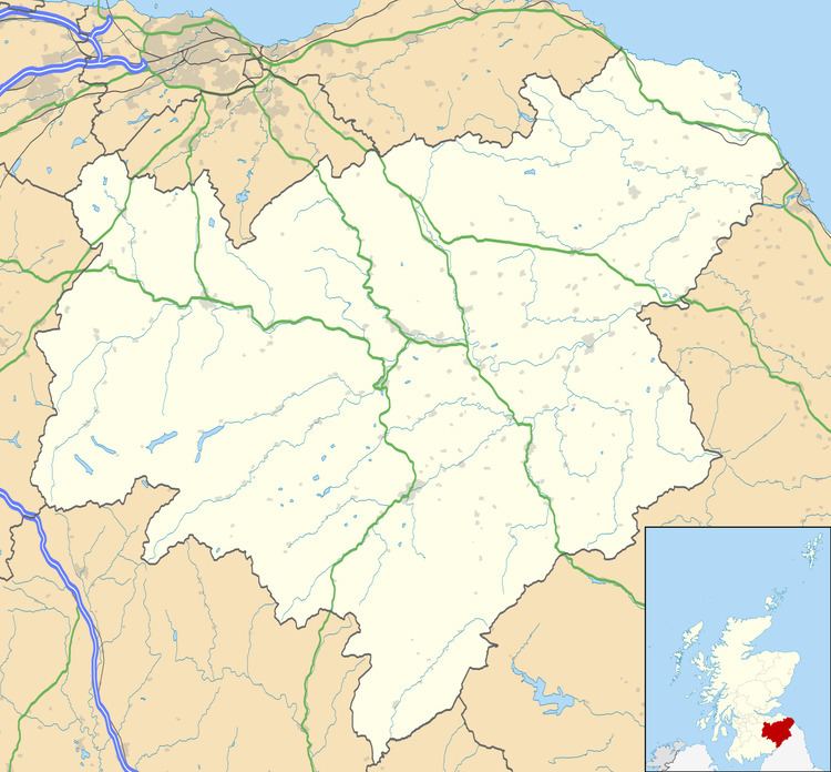
Fogo is a village in the county of Berwickshire, in the Borders of Scotland, 3 miles south of Duns, on the Blackadder Water.
Map of Fogo, Duns, UK
The name Fogo means "foggage pit, den or hollow" as well as a portmanteau of fog and hollow.
Other places nearby include the Crosshall cross, Gavinton, the Greenknowe Tower, Greenlaw, Edrom, Eccles, Hume Castle, Leitholm, Longformacus, Polwarth, Swinton, and Westruther.
References
Fogo, Scottish Borders Wikipedia(Text) CC BY-SA