
Length 19.43 km | ||
 | ||
North end: US 98 / US 441 in Pahokee | ||
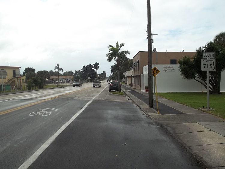
Known locally as Southwest 16th Street, Northwest 16th Street, and Bacom Point Road, State Road 715 (SR 715) is a 12 miles (19 km)-long north–south route serving two cities on and near the southeastern shore of Lake Okeechobee in southern Florida. The southern terminus is an intersection with Palm Beach Road (SR 80) in Palm Beach County just south of Belle Glade; the northern terminus is an intersection with Lake Avenue (US 441/SR 15) in downtown Pahokee.
Contents
Map of SW 16th St, Belle Glade, FL 33430, USA
Route description
State Road 715 begins at the intersection with State Road 80 at the western city limits of Belle Glade. Heading north, SR 715 skirts the western border of the town, passing through parks and a Palm Beach State College campus before heading into a mix of residential and commercial areas. It then intersects State Road 717 at the Hillsboro Canal near the northwestern end of Belle Glade. State Road 715 then leaves Belle Glade into farmland and towards the lake, with the sparse house or business on the side of the road. Following the intersection with Old Vandergrift Road, State Road 715 runs parallel with the Rim Canal for the next several miles, save a small section where it veers inland as it passes just east of Palm Beach County Glades Airport. North of the Airport, the road veers northeast, with houses lining the road to the west and farmland mostly to the east, slowly heading into Pahokee and terminating at US 98/US 441/SR 15, near the Pahokee City Hall. The road continues east onto East First Street which leads to South Barfield Highway, and ends at a local street named South Greenstar Avenue.
Major intersections
The entire route is in Palm Beach County.