
Length 20.78 km | ||
 | ||
East end: I-275 in St. Petersburg | ||
State Road 688 (SR 688) is an east–west route in Pinellas County running from Indian Rocks Beach to northeastern St. Petersburg, Florida, where it merges onto Interstate 275.
Contents
Map of FL-688, Florida, USA
Route description
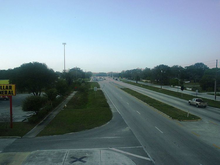
The highway changes its name as it heads east across Pinellas County. From Gulf Boulevard in Indian Rocks Beach, it runs along 5th Avenue and crosses the bridge over the Intracoastal Waterway as the Indian Rocks Causeway. Once off the causeway, it becomes Walsingham Road and runs on to the intersection of Walsingham and Ulmerton Roads. Walsingham continues east, but State Road 688 loops north and then east on Ulmerton Road. So it remains as it skirts Largo through Pinellas County. It crosses US 19 and then merges briefly with Roosevelt Boulevard (SR 686). It continues into northeast St. Petersburg and its traffic merges with I-275.
History
Ulmerton Road was named for the community of Ulmers, which arose around Marion Ulmer's turpentine still, timber and naval stores interests in the first half of the twentieth century. In the 1950s, the area was very rural, and cattle were driven along the then dirt road. Today it carries traffic across the middle of the most densely populated county in Florida.
Major intersections
The entire route is in Pinellas County.