
Municipality Benito Juárez Postal code 99780,99781 | Time zone CST (UTC-6) Capital Florencia | |
 | ||
Elevation 2,200 m (7,217.84777 ft) | ||
Haciendo punta corrido de balasera en florencia de benito ju rez zacatecas
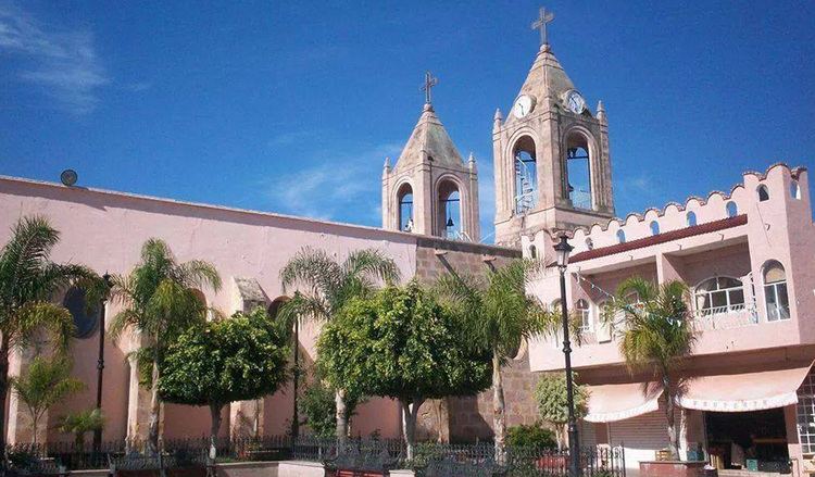
Benito Juárez Municipality is a Mexican municipality located in the southern extreme of the state of Zacatecas on the edge of the Canyon of Tlaltenango.
Contents
- Haciendo punta corrido de balasera en florencia de benito ju rez zacatecas
- Map of Florencia de Benito JuC3A1rez Zacatecas Mexico
- Overview
- References
Map of Florencia de Benito Ju%C3%A1rez, Zacatecas, Mexico
Overview
To the north, the municipality is bordered by the municipality of Tepechitlán, and Chimaltitan, Jalisco. To the south, the municipality is bordered by the municipality of Teúl de González Ortega and Tequila, Jalisco. To the east it is bordered by Teúl de González Ortega, and Santa María de la Paz. To the west, it is bordered by the municipality of San_Martin_de_Bolanos,Jalisco.
The municipality covers an area of 329 km². Its villages include Los Campos, San Lucas, Potrerillos, and Tonilco.
In 2010, the municipality had a total of 4,854 inhabitants, of which 2,406 lived in the municipal seat.
References
Florencia de Benito Juárez Wikipedia(Text) CC BY-SA