
Country United States County Adams Time zone Eastern (EST) (UTC-5) Elevation 193 m Population 38 (2010) Local time Monday 7:05 AM | State Pennsylvania ZIP codes 17307 Area 16 ha Zip code 17307 | |
 | ||
Weather -10°C, Wind SW at 0 km/h, 79% Humidity | ||
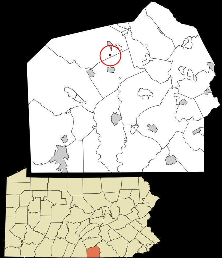
Floradale is an unincorporated community in Menallen Township, Adams County, Pennsylvania, United States. The U.S. Census Bureau records the community as the Flora Dale census-designated place. It is located on Pennsylvania Route 34 2 miles (3 km) north of Biglerville. As of the 2010 census the population was 38.
Map of Floradale, PA 17307, USA
Flora Dale consists of a few houses along Pennsylvania Route 34, just north of Quaker Valley Road. After the Post Office decertified part of a house that was served by the Black Sisters in the late 1950s, there has been no sign to tell others of its name. The community remains marked on most maps.
Just beyond it is the Menallen Township Society of Friends Meeting House. It is the second meeting house, a brick structure built in 1880 to replace the first one built about 1838. It is surrounded by large white oak trees, whose trunks are over 2 feet (0.61 m) thick. Behind the Meeting House is a covered stable where one could tie up the horses. There is a cemetery immediately south of the Meeting House.