
Country United States County Boone Time zone CST (UTC-6) Area 94.51 km² Population 2,981 (2010) | State Illinois Settlement November 6, 1849 Elevation 265 m Local time Monday 5:42 AM | |
 | ||
ZIP codes 60145, 60146, 61008, 61016 Weather -3°C, Wind E at 14 km/h, 97% Humidity | ||
Flora Township is one of nine townships in Boone County, Illinois, USA. As of the 2010 census, its population was 2,981 and it contained 1,203 housing units. Flora Township was originally named Fairfield on November 6, 1849, but was changed to Burton in April, 1851, and then changed again to Flora in October, 1851.
Contents
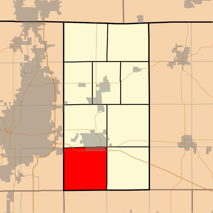
- Map of Flora Township IL USA
- Geography
- Cities
- Unincorporated towns
- Cemeteries
- Major highways
- School districts
- Political districts
- References
Map of Flora Township, IL, USA
Geography
According to the 2010 census, the township has a total area of 36.49 square miles (94.5 km2), of which 36.46 square miles (94.4 km2) (or 99.92%) is land and 0.03 square miles (0.078 km2) (or 0.08%) is water.
Cities
Unincorporated towns
Cemeteries
The township contains these two cemeteries: Bloods Point and Flora.
Major highways
School districts
Political districts
References
Flora Township, Boone County, Illinois Wikipedia(Text) CC BY-SA