
Peak Mount Powell Country United States of America | Elevation 10,168 ft (3,099 m) | |
 | ||
Similar Rocky Mountains, Highland Mountains, Snowcrest Range, Mount Haggin, Tobacco Root Mountains | ||
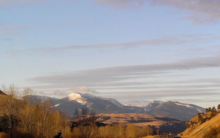
The Flint Creek Range, el. 10,168 feet (3,099 m), is a mountain range northeast of Philipsburg, Montana in Granite County, Montana. The highest point in the range is Mount Powell, at 10,168 ft. in elevation.
Map of Flint Creek Range, Montana 59858, USA
About 60,000 acres of the Flints are roadless. From Deer Lodge, Montana, there appears to be a level, barren ridge connecting Mount Powell and Deer Lodge Mountain, el. 9765 ft. However, if one is traveling eastbound on Interstate 90, in the stretch between Drummond and Garrison, Montana, looking up one can see that this ridge is actually a sheer cliff called "The Crater." The Crater is characterized as "[g]iant granite ribs resembling the backbone of a dinosaur" by Cunningham. The Flints have the typical Rocky Mountain fauna, including a few mountain goats. The area is popular for hunting of deer, elk, and blue grouse, but otherwise appears to receive little recreational use. A six-person capacity cabin on Doney Lake is available for rental from the Deer Lodge Ranger District year-round. Dozens of alpine lakes in the range provide good fishing.
The Discovery Ski Area is located in the southwestern part of the Flints, near Georgetown Lake.