Population 5,862 (2011) | Postcode(s) 4305 Postal code 4305 | |
 | ||
State electorate(s) Electoral district of Ipswich | ||
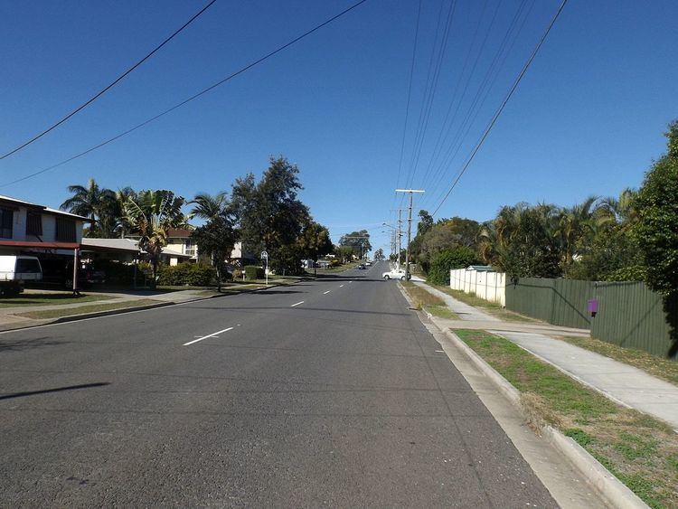
Flinders View is a suburb of Ipswich, Queensland, Australia. The origin of the suburb name is from the view and proximity to Flinders Peak from the suburb of Flinders View. At the 2011 Australian Census the suburb recorded a population of 5,862. Flinders View is bisected by the Cunningham Highway which also forms part of the northern and southern boundary of the suburb.
Map of Flinders View QLD 4305, Australia
Flinders View consists of four estates, Fairview Rise, Kensington Hills, Jacana Place and Flinders Crest. Major parks include Fairview Park and Nugent Park and its local shopping centre is Winston Glades, which has seen much change and development recently with the enlargement of Supa IGA and the movement of Pizza Hut and Network Video to a new section of the centre.
References
Flinders View, Queensland Wikipedia(Text) CC BY-SA
