
Established 2013 Time zone ACST (UTC+9:30) | Postcode(s) 5434 Postal code 5434 Date formed 2013 | |
 | ||
Population no census data until 2016 (2016) Location 380 km (236 mi) north of Adelaide86 km (53 mi) north-east of Quorn131 km (81 mi) north-east of Port Augusta LGA(s) Unincorporated areaFlinders Ranges Council | ||
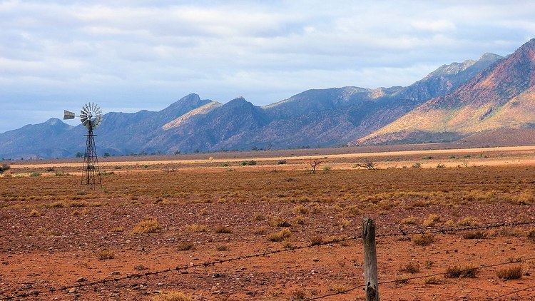
Sidetracked australia flinders ranges south australia
Flinders Ranges is a locality in the Australian state of South Australia located in the mountain range of the same name, about 380 kilometres (240 mi) north of the state capital of Adelaide, about 86 kilometres (53 mi) north-east of the municipal seat of Quorn and about 131 kilometres (81 mi) north-east of the centre of Port Augusta in the state’s Far North region.
Contents
- Sidetracked australia flinders ranges south australia
- Heritage listings
- Adjoining localities
- References
Its boundaries were created in April 2013, with the name selected to respect the ‘long established local name’. Its southern boundary was altered in November 2013 with the addition of land from Hawker and the transfer of land to Shaggy Ridge. The former government towns of Edeowie and Mernmerna are also within its boundaries. These were both surveyed in 1863; Edeowie Post Office was open from c. 1870 to 1876 and from 1879 to 1881, while Mernmerna Post Office was open from 1874 to 1881 and again for a period in 1905.
Flinders Ranges consists of the part of the mountain range between the ‘town centre’ of Hawker in the south and of Parachilna in the north, as well as some land to the west of the range. In the north east it contains all of the protected areas of the Ikara-Flinders Ranges National Park and Bunkers Conservation Reserve, whose eastern boundaries align with that of the locality. The Marree railway line and The Outback Highway both pass through the west side of the locality while the Flinders Ranges Way passes through the south-east side.
As of 2012, its land use was either pastoral farming or conservation. The Marree railway line is the boundary between these uses, with pastoral farming to the west and land to the east zoned for conservation, including the Ikara-Flinders Ranges National Park and the Bunker Conservation Reserve.
Flinders Ranges is located within the federal division of Grey, the state electoral districts of Giles and Stuart, the Flinders Ranges Council and the unincorporated area of South Australia.
Heritage listings
Flinders Ranges contains a number of places listed on the South Australian Heritage Register, including:
Adjoining localities
Flinders Ranges is bounded by the following localities: