
Population 948 (2011) Civil parish Fleggburgh Country England Area 12.04 km² Shire county Norfolk | OS grid reference TG445140 Region East Sovereign state United Kingdom Local time Monday 5:06 AM District Borough of Great Yarmouth | |
 | ||
Weather 8°C, Wind NW at 18 km/h, 89% Humidity | ||
Fleggburgh is a village and civil parish in the English county of Norfolk, sometimes also known as Burgh St Margaret. It is situated to the west of the Trinity Broads complex with the Broads National Park, some 12 km (7.5 mi) north-west of the town of Great Yarmouth and 25 km (16 mi) east of the city of Norwich.
Contents
Map of Fleggburgh, UK
The civil parish, which also includes the villages of Billockby and Clippesby, has an area of 12.04 km2 (4.65 sq mi) and in the 2001 census had a population of 909 in 397 households, the population increasing to 948 in the 2011 Census. For the purposes of local government, the parish falls within the district of Great Yarmouth.
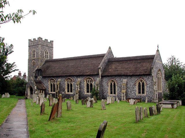
Fleggburgh lies between Acle and Great Yarmouth. It has two churches, one of which burnt down in the 18th century, and one primary school.
Governance
An electoral ward in the same ward exists. This ward stretches south to Mautby with a total population taken in the 2011 census of 2,426.