
Population 212 (2001) Sovereign state United Kingdom Dialling code 01788 | OS grid reference SP515635 Post town RUGBY Local time Monday 4:35 AM District Borough of Rugby UK parliament constituency Rugby and Kenilworth | |
 | ||
Weather 4°C, Wind NW at 10 km/h, 94% Humidity | ||
Flecknoe is a village in the Rugby district of Warwickshire, England. The village is within the parish of Wolfhampcote. Its name came from Anglo-Saxon Fleccanhóh = "Flecca's hill-spur". The village is shown as Fleckno on the Christopher Saxton map of 1637.
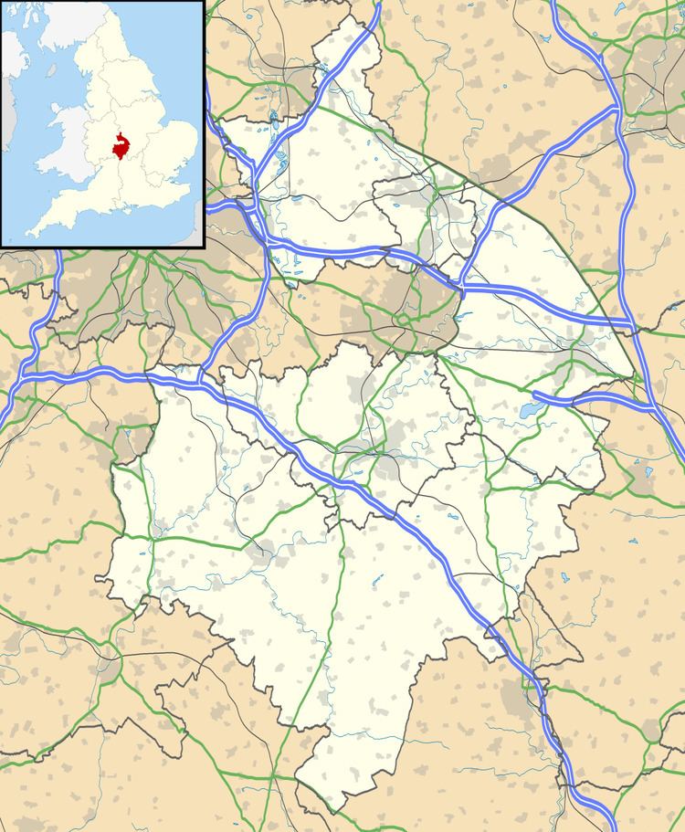
Map of Flecknoe, Rugby, UK
Flecknoe is quite an isolated village, being one mile from the nearest main road (the A425 Southam - Daventry road) and is connected only by narrow lanes. Flecknoe has a small church, dedicated to St. Mark, which was built with railway money in 1891 as compensation for disruption to the nearby ancient village of Wolfhampcote.
Flecknoe once had a railway station on the former Weedon to Leamington Spa branch line. The station was over a mile north of the village and effectively in the middle of nowhere, consequently it was an early victim of British Railways' closure programme, the last passenger train running on 3 November 1952. However, the line survived carrying freight until 2 December 1963.