
Country United States Time zone Eastern (EST) (UTC-5) Elevation 188 m Local time Sunday 10:41 PM | State Indiana GNIS feature ID 434564 Zip code 47974 | |
 | ||
Weather 1°C, Wind E at 10 km/h, 47% Humidity | ||
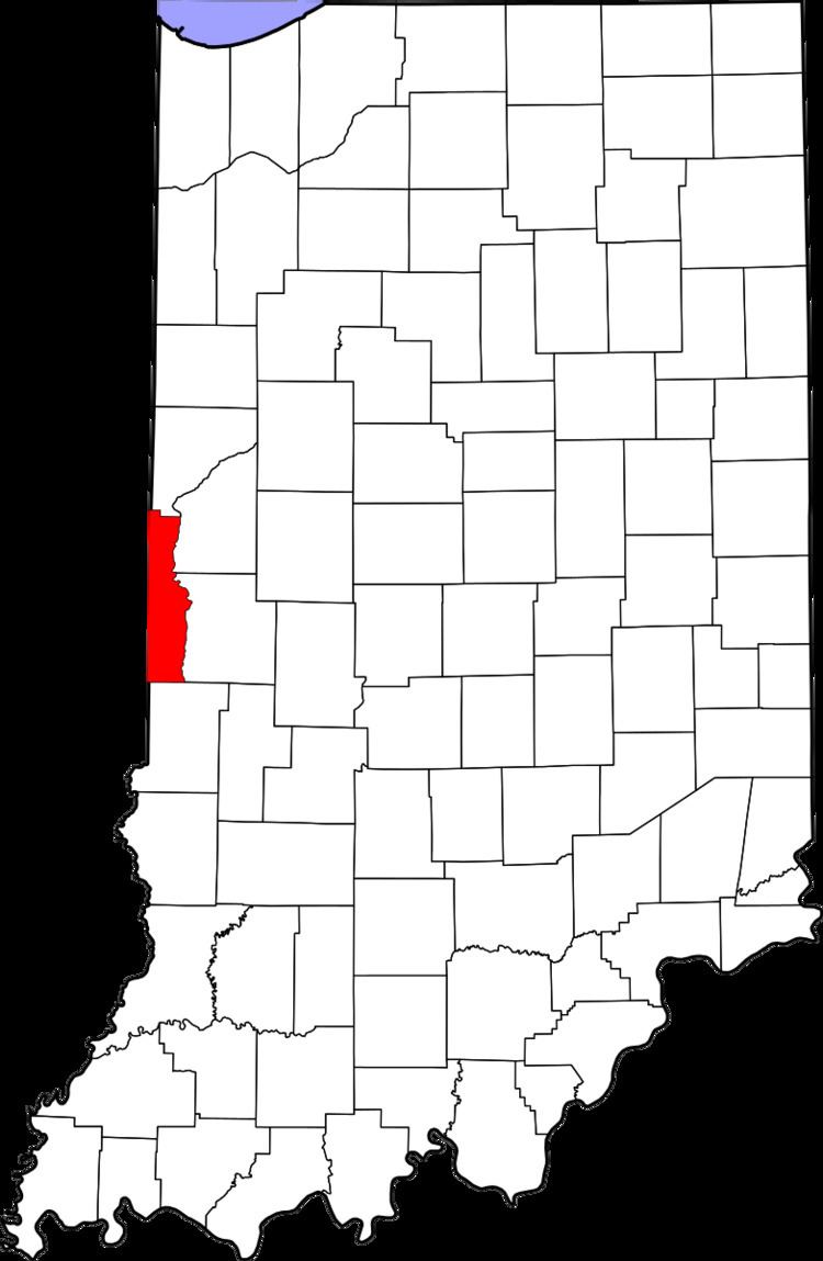
Flat Iron is a small, unincorporated community in Highland Township, Vermillion County, in the U.S. state of Indiana.
Contents
Map of Flat Iron, Highland Township, IN 47974, USA
Geography
Flat Iron is an Unincorporated community located at 40°3′11″N 87°29′21″W (40.052930, -87.489130). State Road 32, County Road 100W ("Flat Iron Road") and County Road 1150N come together at this point to enclose a triangular, iron-shaped area of flat ground, giving the site its name. A house and a pole barn occupy the site, along with a sign reading, "Flat Iron, population 1." In the past the site had an additional residence and a general store, and a population of six. Highland Airport, which closed in the late 1980s, was located just across the field to the north and east of Flat Iron. The closest incorporated town is Perrysville, approximately three miles east. The unincorporated town of Gessie is about two miles north.