
Area 12.39 km² | Region Normandy Intercommunality Pays Neufchâtelois Local time Monday 2:04 AM | |
 | ||
Weather 8°C, Wind NW at 11 km/h, 93% Humidity | ||
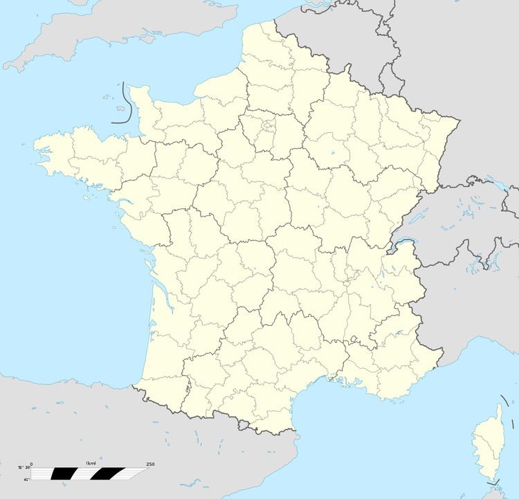
Flamets-Frétils is a commune in the Seine-Maritime department in the Haute-Normandie region in northern France.
Contents
Map of 76270 Flamets-Fr%C3%A9tils, France
Geography
A small farming village situated in the Pays de Bray, some 32 miles (51 km) southeast of Dieppe, at the junction of the D36 and the D102 roads. The A29 autoroute passes through the commune’s territory.
Places of interest
References
Flamets-Frétils Wikipedia(Text) CC BY-SA