
Isolation 0.77 mi (1.24 km) Mountain range Front Range Parent range Front Range | Elevation 2,128 m Easiest route Hiking | |
 | ||
Location Boulder County, Colorado, U.S. Topo map USGS 7.5' topographic map
Boulder, Colorado Similar Flatirons, Front Range, Bear Peak, Green Mountain, Torreys Peak | ||
Flagstaff mountain boulder colorado road tour video w stabilizer
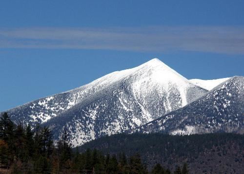
Flagstaff Mountain is a foothill on the eastern flank of the Front Range of the Rocky Mountains of North America. The 6,983-foot (2,128 m) peak is located in Boulder Mountain Park, 3.5 miles (5.6 km) southwest by west (bearing 239°) of downtown Boulder in Boulder County, Colorado, United States.
Contents
- Flagstaff mountain boulder colorado road tour video w stabilizer
- Map of Flagstaff Mountain Colorado 80302 USA
- MountainEdit
- References
Map of Flagstaff Mountain, Colorado 80302, USA
MountainEdit
Flagstaff Mountain offers scenic day and night views of Boulder, Metropolitan Denver, and the surrounding mountains. There are hiking and bike trails, picnic areas, the Summit Nature Center, and an outdoor amphitheatre.
References
Flagstaff Mountain Wikipedia(Text) CC BY-SA