
Time zone CET/CEST (UTC+1/+2) Area 27.61 km² Population 10,124 (31 Dec 2008) Dialling code 03726 | Elevation 275 m (902 ft) Postal codes 09557 Local time Monday 10:34 PM Postal code 09557 | |
 | ||
Weather 5°C, Wind SW at 8 km/h, 72% Humidity | ||
Flöha is a town in the district of Mittelsachsen, in the Free State of Saxony, Germany. Flöha is situated on the confluence of the rivers Zschopau and Flöha, 10 km (6.21 mi) east of Chemnitz.
Contents
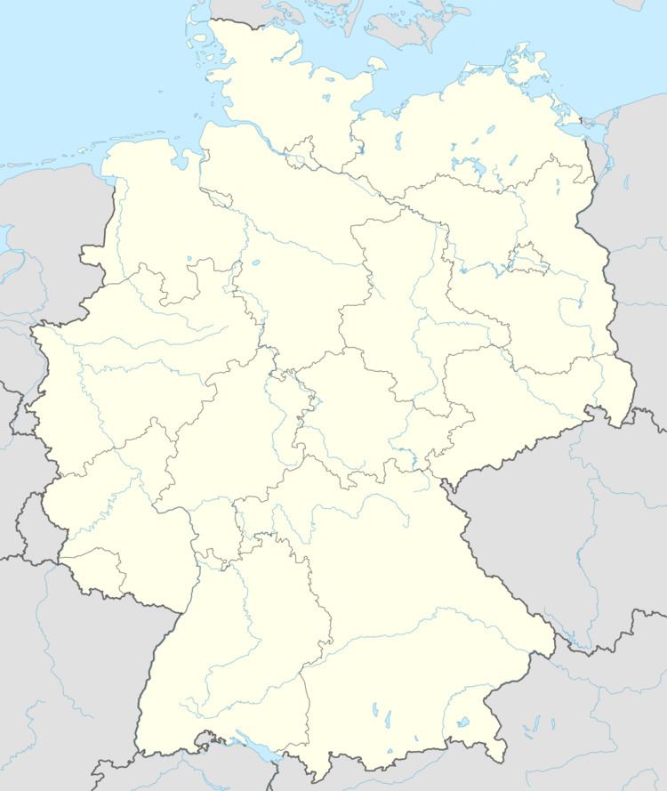
- Map of FlC3B6ha Germany
- History
- Sons and daughters of the city
- Personalities who have worked in the city
- References
Map of Fl%C3%B6ha, Germany
History
During World War II, a subcamp of Flossenbürg concentration camp was located in Flöha.
Sons and daughters of the city
Personalities who have worked in the city
References
Flöha Wikipedia(Text) CC BY-SA