
Country United States ZIP codes 51601, 51639 Elevation 328 m Population 698 (2010) | Time zone CST (UTC-6) GNIS feature ID 0467834 Area 104.8 km² Local time Sunday 10:52 AM | |
 | ||
Weather 1°C, Wind SE at 24 km/h, 56% Humidity | ||
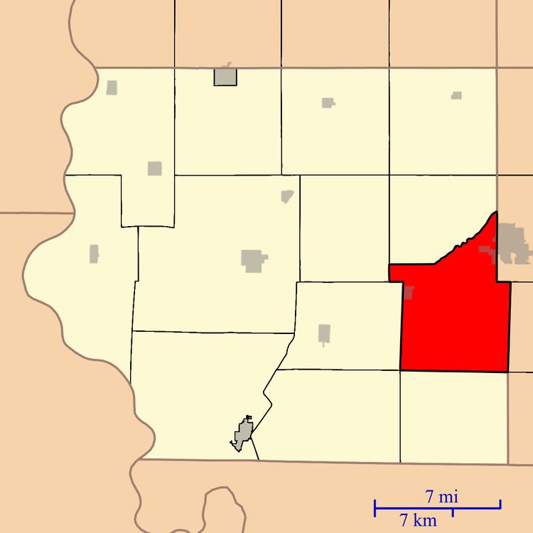
Fisher Township is one of thirteen townships in Fremont County, Iowa, United States. As of the 2010 census, its population was 698 and it contained 341 housing units.
Contents
- Map of Fisher IA USA
- History
- Geography
- Cities towns villages
- Cemeteries
- Transportation
- School districts
- Political districts
- References
Map of Fisher, IA, USA
History
Fisher Township was named for Edward Fisher, a pioneer settler.
Geography
As of the 2010 census, Fisher Township covered an area of 40.45 square miles (104.8 km2), all land.
Cities, towns, villages
Cemeteries
The township contains Farragut Cemetery and Manti Cemetery.
Transportation
School districts
Political districts
References
Fisher Township, Fremont County, Iowa Wikipedia(Text) CC BY-SA