
Elevation 685 m (2,247 ft) Local time Sunday 3:53 AM | Microregion Anicuns Microregion Time zone BRT/BRST (UTC-3/-2) | |
 | ||
Weather 23°C, Wind E at 6 km/h, 84% Humidity | ||
Firminópolis is a municipality in eastern Goiás state, Brazil.
Contents
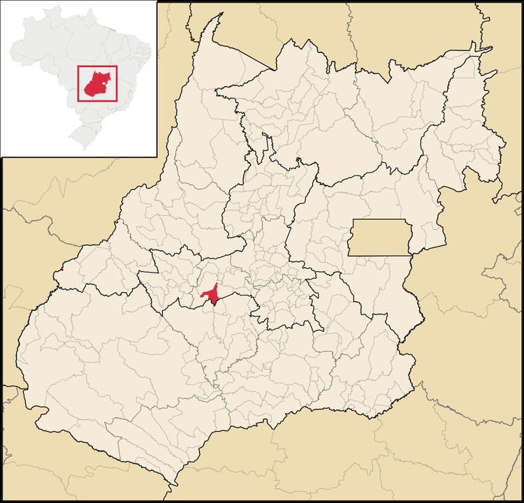
- Map of FirminC3B3polis State of GoiC3A1s Brazil
- Location and connections
- Demographic data
- Economic data
- Education and health
- References
Map of Firmin%C3%B3polis, State of Goi%C3%A1s, Brazil
Location and connections
Highway connections with Goiânia are made by state highway BR-069 west from Goiânia, through Trindade, Santa Bárbara de Goiás, Turvânia, and then 19 kilometers west to Firminópolis. Neighboring municipalities are Turvânia, Aurilândia, and Turvânia.
Demographic data
Economic data
The main economic activities were small transformation industries, goods and services, and agricultural production. There were 02 banking institutions: Banco do Brasil S.A. - Banco Itaú S.A. (08/2007) There was 01 dairy: Manoel Pereira Peixoto (05/2006). The cattle herd had 55,0000 head (2006) and the main crops were rice, corn, soybeans, manioc, hearts of palm, and bananas.
Education and health
For the complete list see frigoletto.com.br.
References
Firminópolis Wikipedia(Text) CC BY-SA