Length 26 mi (42 km) Established September 11, 1964 | Visitors 384,343 (in 2014) Area 79.23 km² | |
 | ||
Location Fire Island, New York, United States Website Fire Island National Seashore Similar Fire Island Lighthouse, Watch Hill, Robert Moses State Park, Otis Pike Fire Island High Dun, Smith Point County Park | ||
Sunken forest at fire island national seashore july 2015
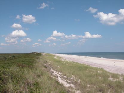
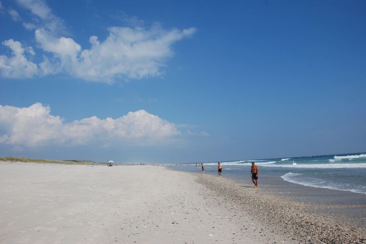
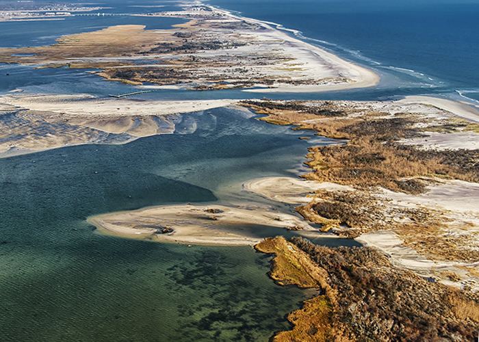
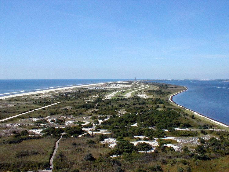
Fire Island National Seashore (FINS) is a United States National Seashore that protects a 26-mile (42 km) section of Fire Island, an approximately 30-mile (48 km) long barrier island separated from Long Island by the Great South Bay. The island is part of New York State's Suffolk County.
Contents
- Sunken forest at fire island national seashore july 2015
- Fire island national seashore breach part 1 of 3
- Attractions
- References
There are 17 private communities within the boundaries of Fire Island National Seashore including Saltaire, Fire Island Pines, and Ocean Beach. Only two bridges lead to Fire Island and the national seashore and there are no public roads within the seashore itself. The Robert Moses Causeway leads to Robert Moses State Park on the western end of Fire Island while the William Floyd Parkway leads to the eastern end of the island. The seashore can also be accessed by private boat or by ferry from the communities of Patchogue, Sayville, and Bay Shore on Long Island.
Fire Island National Seashore was established as a unit of the National Park Service on September 11, 1964.
A separate unit of Fire Island National Seashore located on Long Island protects the home and estate of William Floyd, an American Revolutionary War general and a signer of the Declaration of Independence. The William Floyd House is listed on the National Register of Historic Places and is located in Mastic Beach, New York.
Fire island national seashore breach part 1 of 3
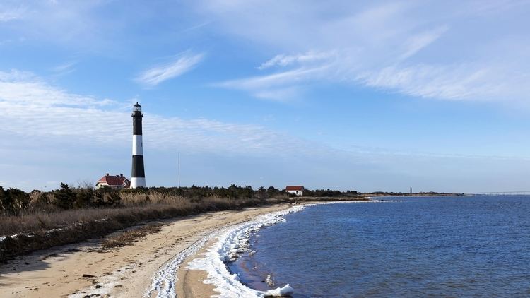
Attractions