
Time zone CET/CEST (UTC+1/+2) Area 3.11 km² Postal code 56766 Dialling code 02677 | Elevation 450 m (1,480 ft) Postal codes 56766 Local time Saturday 8:32 PM Population 89 (31 Dec 2008) | |
 | ||
Weather 6°C, Wind E at 8 km/h, 63% Humidity | ||
Von der rohwolle zum filz
Filz is an Ortsgemeinde – a municipality belonging to a Verbandsgemeinde, a kind of collective municipality – in the Cochem-Zell district in Rhineland-Palatinate, Germany. It belongs to the Verbandsgemeinde of Ulmen, whose seat is in the like-named town.
Contents
- Von der rohwolle zum filz
- Map of Filz Germany
- How to make a kawaii fries plushie
- Location
- History
- Municipal council
- Mayor
- Coat of arms
- Buildings
- References
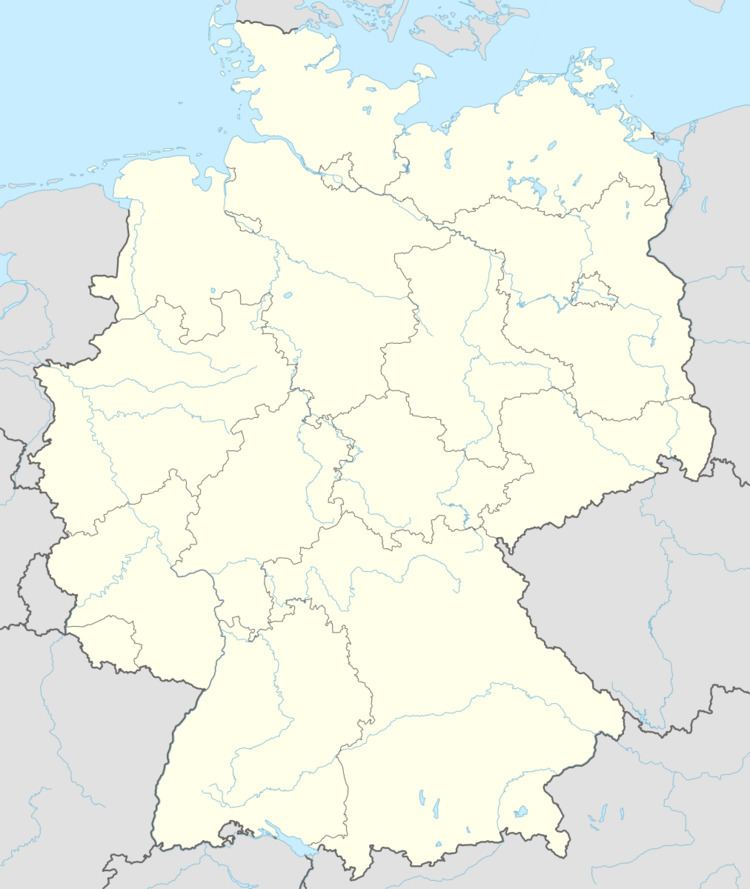
Map of Filz, Germany
How to make a kawaii fries plushie
Location
The municipality lies in the South Eifel, south of Ulmen and east of Daun.
History
The municipality’s overlord in the Middle Ages was the Electorate of Trier. Beginning in 1794, Filz lay under French rule. In 1815 it was assigned to the Kingdom of Prussia at the Congress of Vienna, becoming part of that kingdom’s Rhine Province. Since 1946, it has been part of the then newly founded state of Rhineland-Palatinate.
Municipal council
The council is made up of 6 council members, who were elected by majority vote at the municipal election held on 7 June 2009, and the honorary mayor as chairman.
Mayor
Filz’s mayor is Alfons Hieronimus, and his deputy is Günther Maier.
Coat of arms
The municipality’s arms might be described thus: Tierced in mantle, dexter azure a sword bendwise sinister, the pommel to chief, argent, sinister gules a bishop’s staff bendwise and to dexter a wheel spoked of seven Or, and in base Or an ear of wheat leafed of two vert.
Buildings
The following are listed buildings or sites in Rhineland-Palatinate’s Directory of Cultural Monuments: