
Vehicle registration ΡΖ | Time zone EET (UTC+2) Local time Saturday 7:13 PM | |
 | ||
Weather 12°C, Wind NE at 11 km/h, 58% Humidity | ||
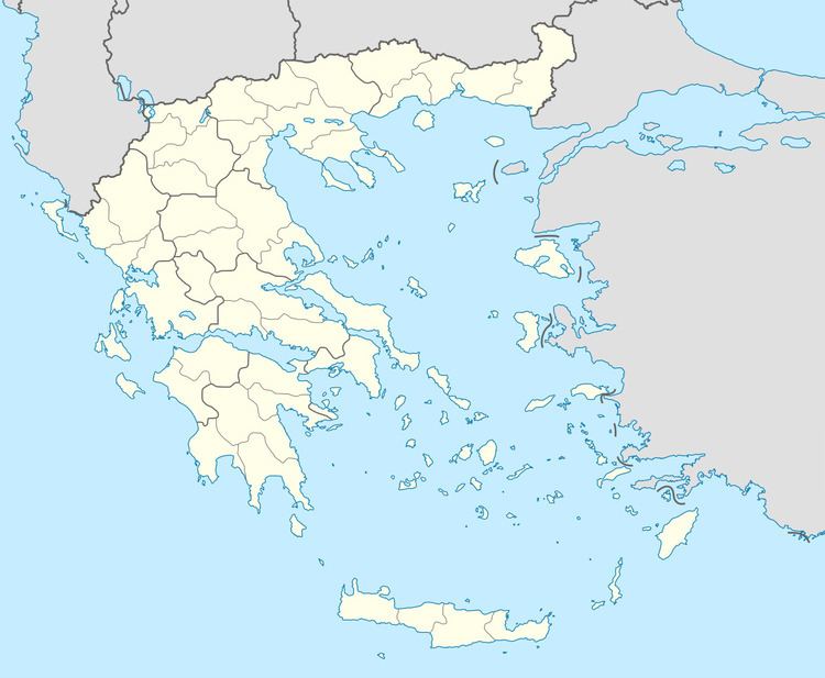
Filippiada (Greek: Φιλιππιάδα) is a small town and a former municipality in the Preveza regional unit, Epirus, Greece. Since the 2011 local government reform it is part of the municipality Ziros, of which it is a municipal unit. The municipal unit has an area of 142.409 km2. Population 8,106 (2011 census). The town Filippiada is situated at the foot of low hills on the right bank of the river Louros. The northern part of the municipal unit is mountainous. Filippiada is 10 km (6 mi) northwest of Arta, 30 km (19 mi) northeast of Preveza and 52 km (32 mi) south of Ioannina. The Greek National Road 5 (Antirrio - Agrinio - Arta - Ioannina) passes through the town, and the Greek National Road 21 connects it with Preveza.
Contents
Map of Filippiada 482 00, Greece
The area of Filippiada has been inhabited since at least the 8th and 7th centuries BC. The ancient cities of Charadron (Χάραδρον) and Bouchetion (on which the medieval Byzantine castle of Rogoi was built) were located here. There are many sites such as Saint Bessarion Church, the monument in honor of the fighters of the Battle of Bizani, and Lake Ziros.
Subdivisions
The municipal unit Filippiada is subdivided into the following communities (constituent villages in brackets):