
Elevation 858 m Local time Saturday 2:51 PM | Time zone CET (UTC+1) Area 153 km² Population 412 (2014) | |
 | ||
Weather 17°C, Wind W at 18 km/h, 46% Humidity | ||
Figueruela de Arriba is a municipality located in the province of Zamora, Castile and León, Spain. According to the 2009 census (INE), the municipality has a population of 423 inhabitants.
Contents
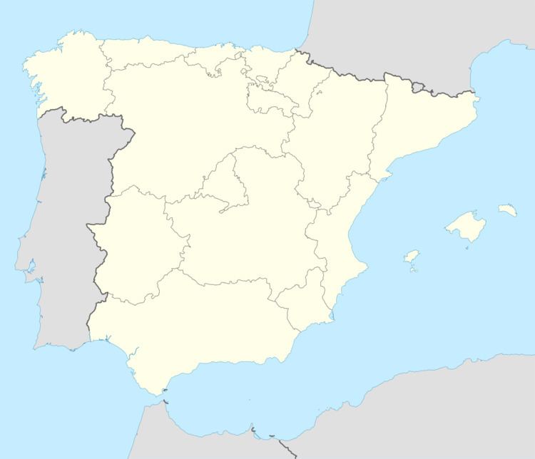
Map of 49520 Figueruela de Arriba, Zamora, Spain
Peña Mira, the highest point of the Sierra de la Culebra range, is located in the area of Flechas, within Figueruela de Arriba municipal term. This municipality is located close to the border with Portugal.
Villages
The municipal term includes the following villages:
References
Figueruela de Arriba Wikipedia(Text) CC BY-SA