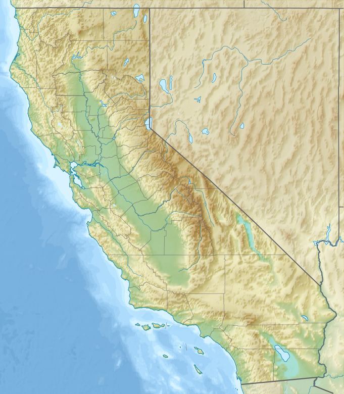
Topo map USGS Figueroa Mountain | ||
 | ||
Elevation 4,534 ft (1,382 m) NAVD 88 Location Santa Barbara County, California, U.S. | ||
Figueroa Mountain is a summit in Santa Barbara County in the U.S. state of California. It is in the San Rafael Mountains, part of the Transverse Ranges group of ranges. The mountain is located in Los Padres National Forest.
Figueroa Mountain was named for a member of the well-known southern California family, the most eminent of whom was José Figueroa, governor of Alta California in 1833-35.
The Figueroa Mountain Recreation Area has excellent spring wildflower displays after wet winters. Late March brings out the early blooming specimens such as purple shooting stars (Dodecatheon clevelandii ssp. clevelandii). Later arrivals on the mountain include chocolate lilies (Fritillaria biflora), and the scarlet Indian paintbrush (Castilleja spp). The open grassland areas support a profusion of annual species including goldfields (Lasthenia spp.), sky lupine (Lupinus nanus), and California poppy (Eschscholzia californica). Other favorites include pitcher sage (Salvia spathacea) and blue dicks (Dichelostemma capitatum). The plant community here is an inland central oak woodland dominated by valley oak (Quercus lobata), blue oak (Quercus douglasii), interior live oak (Quercus wislizenii), and gray pine (Pinus sabiniana). The companion shrub species are manzanita (Arctostaphylos spp.), coffeeberry and redberry (Rhamnus spp.) and gooseberry and currants (Ribes spp.).
