
Population (2008) 345 Area 27.46 km² | Time zone CET (UTC+1) Local time Saturday 6:42 AM | |
 | ||
Weather 3°C, Wind E at 8 km/h, 86% Humidity | ||
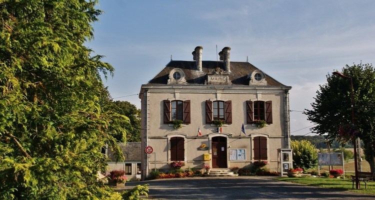
Feux is a commune in the Cher department in the Centre region of France.
Contents
Map of 18300 Feux, France
Geography
A farming area comprising the village and several hamlets situated by the banks of the Benelle river, some 25 miles (40 km) northeast of Bourges, at the junction of the D50, D52 and the D210 roads. The river Vauvise and its tributary, the Chantereine, form the eastern border of the commune.
Sights
References
Feux Wikipedia(Text) CC BY-SA