
Area 3.81 km (1.47 sq mi) Civil parish Ferring | OS grid reference TQ094026 District Arun | |
 | ||
Population 4,480 (Civil/Ward Parish.2011) | ||
Ferring is a village, civil parish and electoral ward in the Arun District of West Sussex, England. It is part of the built-up area of Worthing and is accessed along the A259 road 3 miles (4.8 km) west of the town - comprising North Down Farm and Highdown Hill to the north and the town itself to the south, with approximately equal size green buffers to the town in size, to east and west.
Contents
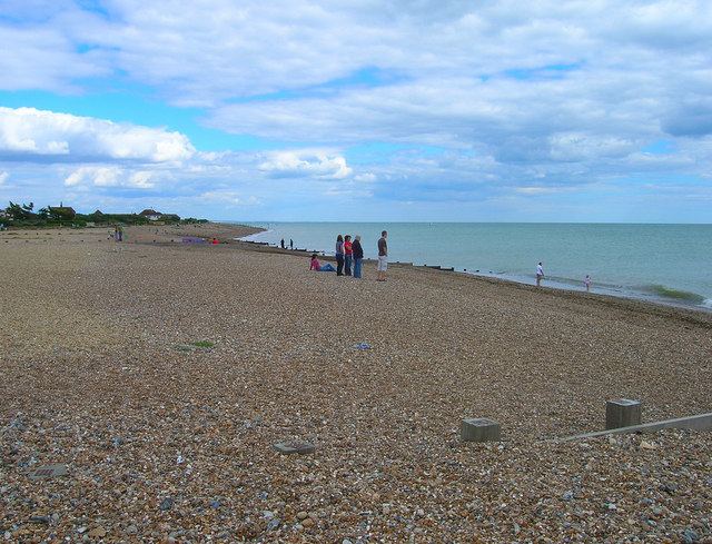
In the 2001 census 4361 people lived in 2179 households, of whom 1423 were economically active. The area's seafront is pedestrianised and the beach itself is a mixture of shingle and pebble, reinforced by groynes. The population at the 2011 Census was 4,480.
History
The site of the village is an ancient one: the name itself is Saxon; it is mentioned in the Domesday Book; the parish church is Norman, and is dedicated to St Andrew. In the churchyard are buried the ashes of Major John Bigelow Dodge (1894-1960), veteran of the Great Escape of 1944, and there is a Commonwealth war grave of a Royal Sussex Regiment officer of World War II.
Until the 1920s the village was a small one; when the south coast began to be built-up, particularly with holiday homes, Ferring began to increase in size.
Sport and leisure
Ferring has an amateur football club Ferring F.C. who play at The Glebelands.