
OS grid reference NG656073 Sovereign state United Kingdom Postcode district IV44 8 Local time Friday 10:58 PM | Council area Highland | |
 | ||
Weather 11°C, Wind S at 21 km/h, 82% Humidity | ||
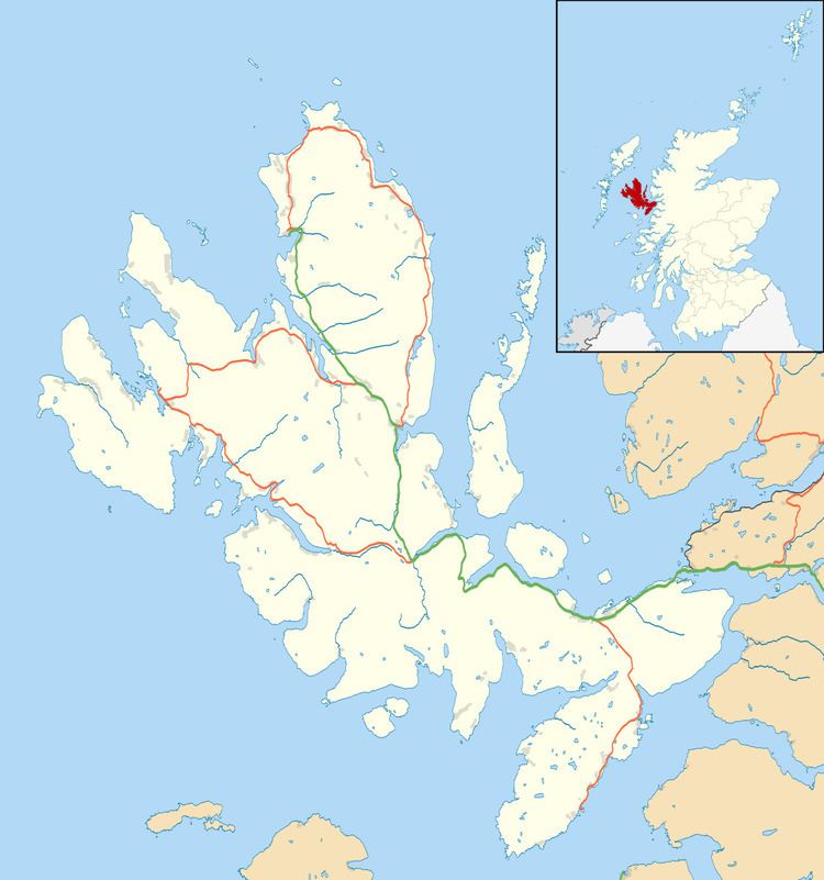
Ferindonald or Ferrindonald (Scottish Gaelic: Fearann Dòmhnaill) is a crofting township, located on the east coast of the Sleat peninsula, lying on the A851 road, in the Isle of Skye, Scottish Highlands and is in the Scottish council area of Highland.
Map of Ferrindonald, Isle of Skye, UK
Ferindonald is located 0.25 miles southwest of Saasaig and 1.5 miles of Teangue.
References
Ferindonald Wikipedia(Text) CC BY-SA