
Area codes +43 3152 Elevation 282 m Population 4,673 (1 Apr 2009) Postal code 8330 | Time zone CET (UTC+1) Vehicle registration FB Area 3.2 km² Local time Friday 2:41 PM | |
 | ||
Weather 10°C, Wind NW at 21 km/h, 51% Humidity | ||
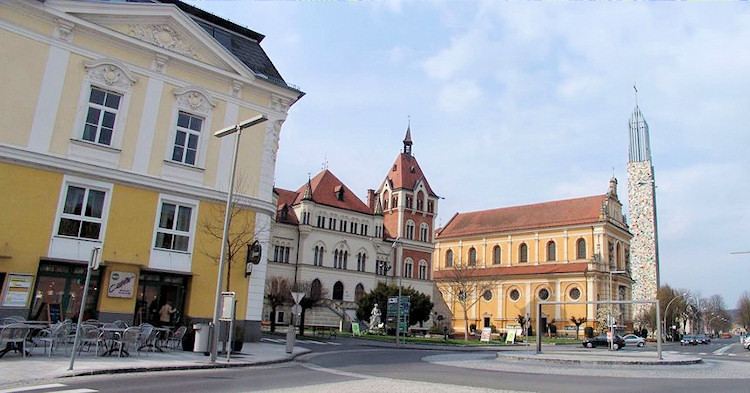
Feldbach (Slovene: Vrbna) is a town in the southeast of the Austrian state of Styria, near the Slovenian and Hungarian border. It is located in the valley around the river Raab.
Contents
Map of 8330 Feldbach, Austria
History
Findings from the Neolithic prove the early existence of a settlement in the area, where Feldbach is located. The name "Feldbach" was first mentioned in 1188 as "Velwinbach". A parish exists since 1232.
In 1469, Feldbach was devastated by rebellious troops. This is probably the reason why the Feldbach Tabor, a medieval fortress, was built.
In the 15th century Feldbach was the setting of many conflicts between rival aristocratic families which caused destruction and pillages in the town. Finally, after the Hajduks (which accompanied the attacking Ottoman Turks) destroyed the whole town, except the Tabor hill, a closed fortification with several gates was built.
Feldbach experienced a major economic upswing after the Hungarian Western railroad was opened in 1873. At the same time the nearby spa Bad Gleichenberg became well known.
During World War I a prisoner-of-war camp existed in Feldbach.