
Admin. region Gießen Elevation 385 m (1,263 ft) Area 55.69 km² Population 2,698 (30 Jun 2009) Dialling code 06637 | Time zone CET/CEST (UTC+1/+2) Local time Friday 2:41 PM Postal code 36325 Administrative region Giessen | |
 | ||
Weather 9°C, Wind W at 13 km/h, 54% Humidity | ||
Feldatal is a community in the Vogelsbergkreis in Hesse, Germany.
Contents
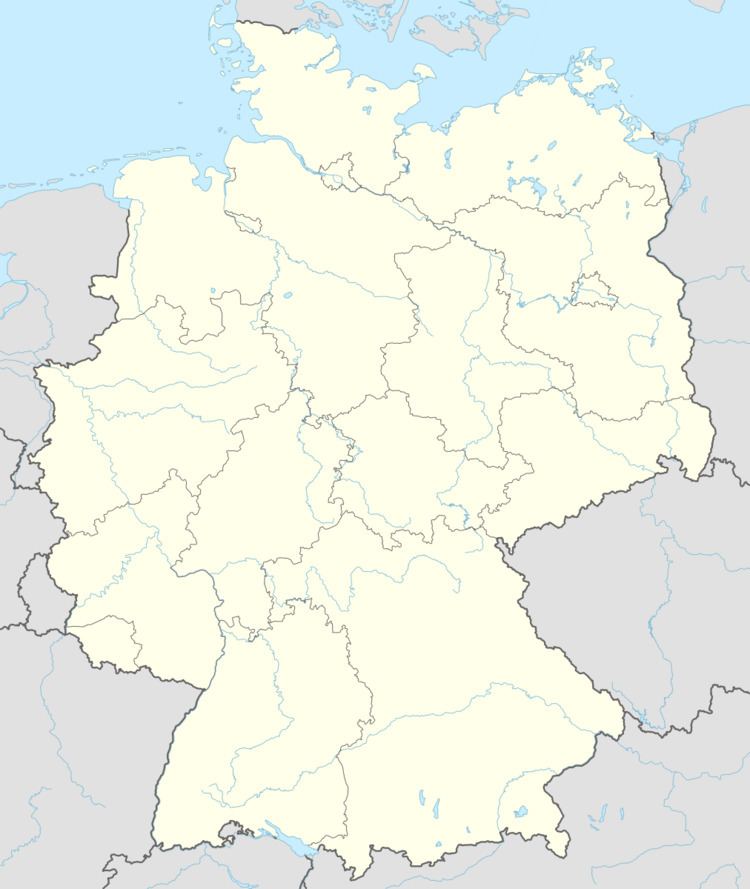
- Map of Feldatal Germany
- Location
- Neighbouring communities
- Constituent communities
- Amalgamations
- Politics
- Coat of arms
- Buildings
- Regular events
- Transport
- References
Map of Feldatal, Germany
Location
The community lies 285 to 598 m above sea level on the north slope of the Vogelsberg Mountains. Through the community flows the river Felda, which empties into the Ohm at Gemünden.
Neighbouring communities
Feldatal borders in the north on the town of Romrod, in the northeast on the community of Schwalmtal, in the east on the community of Lautertal, in the south on the town of Ulrichstein, in the southwest on the community of Mücke, and in the northwest on the community of Gemünden.
Constituent communities
The community consists of the centres of Ermenrod, Groß-Felda with constituent community of Schellnhausen, Kestrich, Köddingen, Stumpertenrod, Windhausen and Zeilbach.
Amalgamations
Feldatal came into being as a result of the municipal reforms in 1972 when the aforesaid constituent communities were united into a greater community.
Politics
The municipal council is made up of 15 members. As of the municipal elections held on 26 March 2006, 4 seats are held by the SPD, 4 by the CDU, 6 by the FWG, a citizens' coalition, and one by the A.L.F.
The municipal executive is made up of 7 members and the mayor. Two seats are held by the SPD, 2 by the CDU, 2 by the FWG, and one by the A.L.F.
The mayor, Dietmar Schlosser was elected with a 67% share of the vote.
Coat of arms
Feldatal's civic coat of arms might heraldically be described thus: Or a virgin-headed spreadeagle gules crowned azure, therein an inescutcheon argent a hammer and four nails azure.
The inescutcheon (smaller inner shield, called a Herzschild or "heartshield" in German heraldry) refers to the dominant handicraft in the community, namely nailsmithing. This trade was practised even into the early 20th century. The virgin-headed spreadeagle (Jungfrauenadler) has its roots in Feldatal's mediaeval noble family's arms.
Buildings
Regular events
Transport
Through the community runs the Federal Highway (Bundesstraße) B 49.