
Basin countries Germany Max. width 0.600 km (0.373 mi) Area 194 ha Mean depth 7.5 m | Catchment area 31.9 km (12.3 sq mi) Max. length 3.100 km (1.926 mi) Surface elevation 62 m Length 3.1 km Outflow location Müritz | |
 | ||
Primary inflows Similar Tiefwarensee, Müritz, Melzer See, Rederangsee, Müritzeum | ||
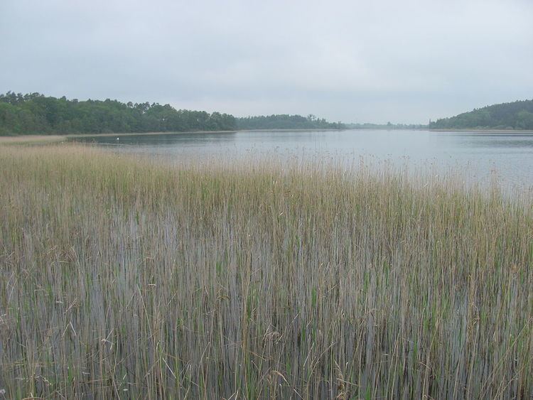
The Feisnecksee or Feisneck is a lake on the southeastern perimeter of the town of Waren in Mecklenburgische Seenplatte district in the German state of Mecklenburg-Western Pomerania. It lies at an elevation of 62.1 metres and its surface area is 1.94 km².
Map of Feisnecksee, 17192 Waren, Germany
The Feisnecksee is joined to the Binnenmüritz to the northwest by a very narrow, shallow and unnavigable ditch. The road runs over a small bridge here that is only wide enough for large vehicles to pass in one direction at a time. The land bridge is about 150 metres wide at this point. The lake is a typical, glacial tunnel valley lake and is divided by a neck and the larger Burgwall Island into a north and south basins. It is about 3,100 metres long and 600 metres wide. Near the southern half is the Waren quarter of Damerow. The lakeshore is completely surrounded by a belt of reed and is also wooded in the south. In the north half of the lake is a bathing area. Fishing is only allowed by special permit because the lake lies in the national park.