
Area code(s) 479 Elevation 408 m | Time zone CST (UTC-6) GNIS feature ID 2406952 Local time Thursday 9:33 PM | |
 | ||
Weather 17°C, Wind NW at 16 km/h, 95% Humidity Points of interest Clinton House, Botanical Garden of the Ozarks, Gulley Park Pavilion, Walker Park, Mt Sequoyah Woods | ||
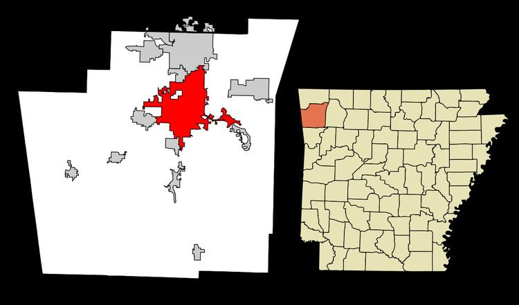
Fayetteville Township is one of thirty-seven townships in Washington County, Arkansas, USA. The township had a population of 73,580 at the 2010 Census. The township contains the City of Fayetteville in its entirety, as the township and the city have identical boundaries.
Contents
Map of Fayetteville Township, AR, USA
Geography
According to the United States Census Bureau, Fayetteville Township covers an area of 44.5 square miles (115 km2), with 43.4 square miles (112 km2) land and the remaining 1.1 square miles (2.8 km2) water. The boundaries of Fayetteville Township are identical to the City of Fayetteville, which has taken from its neighboring township many times. As a result of the expansion of Fayetteville, the boundaries have become gerrymandered and follow the major routes as they leave town.
Neighborhoods
Cemeteries
The township contains eleven cemeteries: