Local time Friday 3:02 AM | Area 19.96 km² | |
 | ||
Intercommunality Bourganeuf et Royère-de-Vassivière Weather 7°C, Wind E at 8 km/h, 85% Humidity | ||
Faux-Mazuras is a commune in the Creuse department in the Nouvelle-Aquitaine region in central France.
Contents
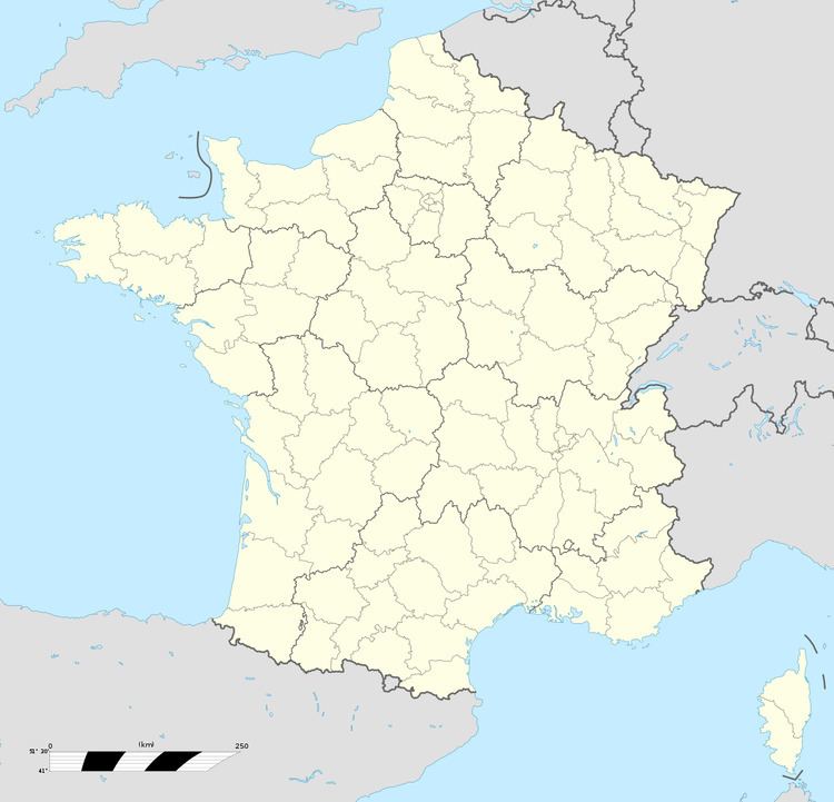
Map of 23400 Faux-Mazuras, France
Geography
A small farming village situated some 19 miles (31 km) southof Guéret at the junction of the D8, D36 and the D37 roads. Coal was mined here for around 100 years until the mid-20th century.
Sights
References
Faux-Mazuras Wikipedia(Text) CC BY-SA
