
Grid position 179/272 PAL Name meaning Fassute, personal name Population 2,977 (2014) | District Northern Area 80 ha Local time Thursday 10:56 PM | |
 | ||
Weather 19°C, Wind E at 13 km/h, 30% Humidity | ||
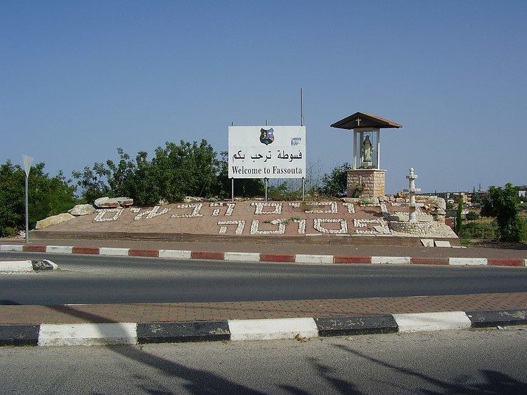
Fassuta is an Arab town on the northwestern slopes of Mount Meron in the Northern District of Israel, south of the Lebanese border. In 2015 it had a population of 3,026.
Contents
- Map of Fassuta Israel
- History
- Ottoman era
- British Mandate era
- Demographics
- Religion and culture
- Archaeology
- Notable residents
- References
Map of Fassuta, Israel
History
In the Crusader era Fassuta was known as Fassove, and in 1183 it was noted that Godfrey de Tor sold the land of the village to Joscelin III. In 1220 Jocelyn III´s daughter Beatrix de Courtenay and her husband Otto von Botenlauben, Count of Henneberg, sold their land, including Fassove, to the Teutonic Knights.
Ottoman era
Fassuta was incorporated into the Ottoman Empire in 1517, and by 1596 it was part of the Nahiya of Akka of the Liwa of Safad. It had a population of 12 Muslim households and 3 Muslim bachelors. It paid taxes on wheat, barley, fruit trees, and goats or beehives.
In 1881, the Palestine Exploration Fund's Survey of Western Palestine (SWP) described Fassuta as "a village, built of stone, containing about 200 Christians, situated on ridge, with gardens of figs, olives, and arable land. There are two cisterns in the village, and a good spring near."
British Mandate era
At the time of the 1922 census of Palestine conducted by the British Mandate, Fassuta had a population of 459, 444 Christians and 15 Muslims, while in the 1931 census, the combined population of Fassuta and Mansura was 507 Palestinian Christians and 81 Muslims, living in a total of 129 houses.
By 1945 Fassuta had 1,050 Christians. The combined population of Fassuta, Al-Mansura and Dayr al-Qasi was 2,300, and their total land area was 34,011 dunums. 1,607 dunams were plantations and irrigable land, 6,475 used for cereals, while 247 dunams were built-up (urban) land.
At the end of October 1948 the village was captured by the Israeli army during Operation Hiram. Most of the Muslim population fled or were expelled but many of the Christians remained. In December 1949 the IDF put forward a plan to expel the remaining population of Fassuta and five other villages in order to create a 5–10 km Arab-free zone along the Lebanon border. This plan was blocked by the Foreign Ministry which feared international reaction. The Arab population remained under Martial Law until 1966.
Between 1922 and 1947, the population of Fassuta increased by 120%.
Demographics
In 2005, the population of Fassuta was 2,900 residents, with an annual population growth rate of 0.9%. All of the inhabitants are Christian Arabs. In 2000, 60.5% of Fassuta high school students passed the Bagrut matriculation exam. In 2000, the mean income was NIS 3,748, compared to a national average of NIS 6,835.
Religion and culture
In 2007, the Mar Elias Church in Fassuta celebrated its 100th anniversary. The church is named after Elias, the village's patron saint. A large statue of Mar Elias stands in the central square.
Archaeology
In 1875, Guerin found traces of ancient ruins: "Numerous cisterns, a great reservoir, vestiges of many ruined houses, fine cut stones marking out floors, and a dozen of presses nearly perfect. These presses are all on the same model : worked in the rock, they consisted of two compartments, one larger, in which the grapes were placed, and one smaller and lower down, in which the juice was received. In the humble church of the modern hamlet I remarked a chapter imitating Corinthian, and probably of Byzantine period. On two of its faces a cross with equal branches has been sculptured. Above the door of the main church has been placed for a lintel a fragment of frieze decorated with flowers and foliage elegantly executed."