
Population 294 (2006 census) Postal code 5416 | Postcode(s) 5416 Farrell Flat Porter Lagoon Local time Friday 5:40 AM | |
 | ||
Weather 17°C, Wind E at 14 km/h, 48% Humidity Federal divisions Division of Grey, Division of Wakefield | ||
Farrell Flat (formerly Hanson) is a town in South Australia. The town is located 20 kilometres (12 mi) east of Clare and 22 kilometres (14 mi) southwest of Burra on the former Peterborough railway line, in the Regional Council of Goyder. At the 2006 census, Farrell Flat and the surrounding area had a population of 294.
Map of Farrell Flat SA 5416, Australia
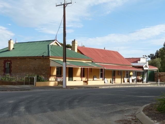
Once the heart of a thriving farming community, Farrell Flat today is largely a satellite town to the larger towns nearby. It has retained its own identity, with a functioning hotel, cafe and meeting house, engineering business and grain silos.
The town was surveyed as Hanson in 1870 and did not officially become Farrell Flat until 19 September 1940. The name Farrell’s Flat had been in use for some time, this being the name of the railway station. The nearby town of Davies was officially renamed to Hanson on 19 September 1940.
Farrell Flat was named for Colonial Chaplain and Dean of Adelaide, James Farrell (26 November 1803 – 26 April 1869).