
Time zone WET (UTC+0) Local time Thursday 7:06 PM Number of airports 1 | Irish Grid Reference Q932036 | |
 | ||
Weather 11°C, Wind SE at 16 km/h, 90% Humidity | ||
No 85 merlin on the steam dreams rail tour of ireland 22 june 2015 farranfore
Farranfore (Irish: An Fearann Fuar, meaning "the cold land") is a village in County Kerry, Ireland. It lies on the N22 road approximately midway between Tralee (10 miles or 17 km) and Killarney (9 miles or 15 km) and on the railway line connecting those two towns.
Contents
- No 85 merlin on the steam dreams rail tour of ireland 22 june 2015 farranfore
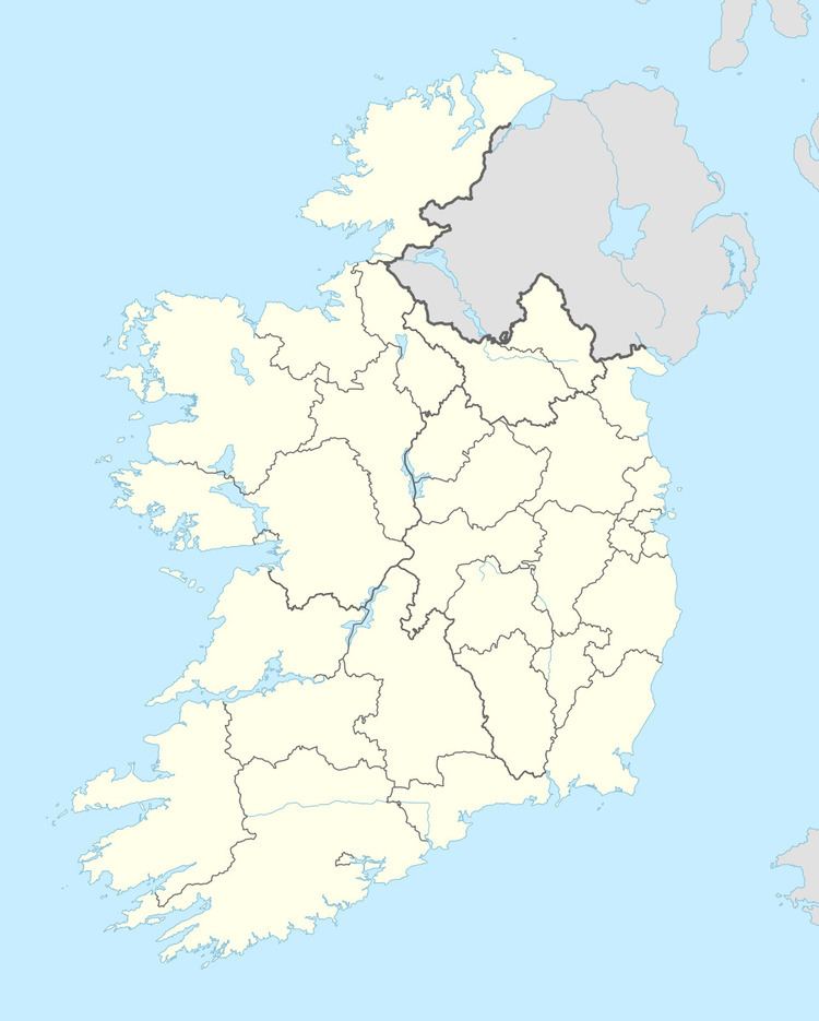
- Map of Farranfore Co Kerry Ireland
- Transport
- Notable People
- References
Map of Farranfore, Co. Kerry, Ireland
Farranfore came into existence as a turnpike; a gate at the cross-roads in the village marked the boundary of the lands of the Earls of Kenmare.
Transport
Notable People
References
Farranfore Wikipedia(Text) CC BY-SA