
FIPS code 19-26985 Elevation 292 m Zip code 51639 Local time Thursday 1:04 PM | Time zone Central (CST) (UTC-6) GNIS feature ID 0456556 Area 106 ha Population 458 (2013) Area code 712 | |
 | ||
Weather 8°C, Wind NE at 21 km/h, 38% Humidity | ||
Farragut is a city in Fremont County, Iowa, USA. The population was 485 at the 2010 census.
Contents
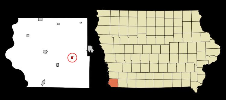
Map of Farragut, IA 51639, USA
History
Farragut had its start in the year 1870 by the building of the Burlington & Missouri River Railroad through that territory. It is named for Admiral David Farragut.
Geography
Farragut is located at 40°43′18″N 95°28′49″W (40.721645, -95.480226) near the East Nishnabotna River.
According to the United States Census Bureau, the city has a total area of 0.41 square miles (1.06 km2), all of it land.
2010 census
As of the census of 2010, there were 485 people, 215 households, and 137 families residing in the city. The population density was 1,182.9 inhabitants per square mile (456.7/km2). There were 229 housing units at an average density of 558.5 per square mile (215.6/km2). The racial makeup of the city was 99.6% White, 0.2% Native American, and 0.2% from two or more races. Hispanic or Latino of any race were 2.3% of the population.
There were 215 households of which 29.8% had children under the age of 18 living with them, 53.0% were married couples living together, 7.4% had a female householder with no husband present, 3.3% had a male householder with no wife present, and 36.3% were non-families. 34.4% of all households were made up of individuals and 19.1% had someone living alone who was 65 years of age or older. The average household size was 2.26 and the average family size was 2.89.
The median age in the city was 46 years. 22.9% of residents were under the age of 18; 6.4% were between the ages of 18 and 24; 18.4% were from 25 to 44; 31.4% were from 45 to 64; and 21% were 65 years of age or older. The gender makeup of the city was 43.1% male and 56.9% female.
2000 census
As of the census of 2000, there were 509 people, 221 households, and 144 families residing in the city. The population density was 1,390.2 people per square mile (531.2/km²). There were 234 housing units at an average density of 639.1 per square mile (244.2/km²). The racial makeup of the city was 97.64% White, 0.39% Asian, 0.98% from other races, and 0.98% from two or more races. Hispanic or Latino of any race were 1.57% of the population.
There were 221 households out of which 27.6% had children under the age of 18 living with them, 55.7% were married couples living together, 7.2% had a female householder with no husband present, and 34.8% were non-families. 32.1% of all households were made up of individuals and 22.2% had someone living alone who was 65 years of age or older. The average household size was 2.30 and the average family size was 2.85.
25.9% are under the age of 18, 5.1% from 18 to 24, 23.2% from 25 to 44, 22.0% from 45 to 64, and 23.8% who were 65 years of age or older. The median age was 42 years. For every 100 females there were 85.1 males. For every 100 females age 18 and over, there were 80.4 males.
The median income for a household in the city was $34,250, and the median income for a family was $47,813. Males had a median income of $31,397 versus $21,000 for females. The per capita income for the city was $16,667. About 3.9% of families and 7.5% of the population were below the poverty line, including none of those under age 18 and 10.9% of those age 65 or over.