
OS grid reference SU432820 Local time Thursday 6:03 PM | Civil parish Farnborough Area 10.5 km² Dialling code 01488 | |
 | ||
Weather 12°C, Wind NW at 6 km/h, 54% Humidity | ||
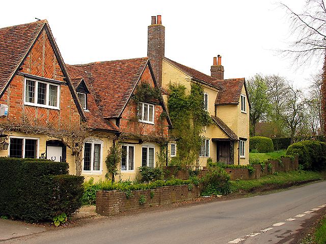
Farnborough is a lightly populated village and civil parish in West Berkshire, on slopes the top crest (Ridgeway) of the Berkshire Downs north of Newbury, in the English county of Berkshire. It had 45 homes in total in 2011, most of which formed a group.
Contents
Map of Farnborough, UK
The village is centred 3 miles (5 km) SSE of the Oxfordshire town of Wantage.
Toponymy
A number of alternative toponyms have been used for Farnborough, including Feornberge (9th century); Fearnbornthaen, Fearbeorh, and Feornbeorh (10th century); Fermberge and Fernbeorngan (11th century); Fernbergam (12th century); and Fearnberughe, Ferenburgh and Farnberg (13th century).
Evolution
In 1924, William Page and Peter Ditchfield summarised the architecture of the village itself as consisting of "a few brick cottages which are of little interest" and Samuel Lewis in 1848 noted "The soil is extremely various; on the same field are frequently found stiff clay, chalk, and sand: the greater portion of the parish is in downs and sheep-walks (pasture). The surface is hilly, and the springs lie at a great depth". The population on approximately the same boundaries was 204, approximately double that of the early 21st century.
Geography
The highest point of the parish is at 720 feet (220 m), and is on the hill where the nucleus of the village is. The land slopes downwards to the east, west and south; the parish's lowest point is to the east of the village and is at 511 feet (156 m).
The village is on a former pack-horse route between Hungerford and Oxford (via Abingdon). In the 18th century the route was diverted; a continuation of the route is evident near East Hendred.
Parish church
The parish church, which is dedicated to All Saints, is to the south of the village. The building features a western tower, mostly repaired 12th-century stone, except the tower (15th century) and the modern porch. Restoration work was carried out to the church in 1883 and 1885, which involved reroofing, new windows, a widening of the chancel arch, and the addition of buttresses to the nave.
Demography
Of its 45 homes in 2011, 17 were privately let, the most common category in this parish. Further land use statistics were as follows: